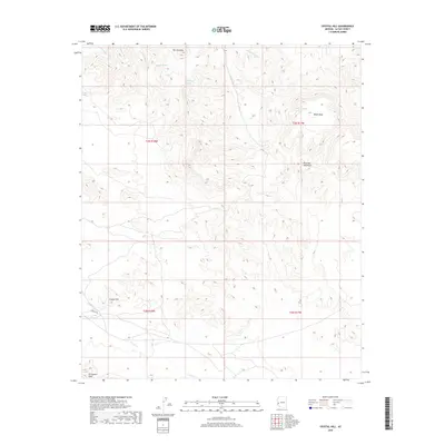
2018 Map of Crystal Hill
USGS Topo · Published 2018About this map
Crystal Hill and the surrounding high desert of La Paz County are defined by a complex network of ephemeral drainages and volcanic landforms. The landscape is dominated by the Plomosa Mountains and the distinct volcanic profile of Black Mesa, while named peaks like Dos Picachos rise above the alluvial fans. Water, though intermittent, has carved significant paths across this terrain, represented by Plomosa Wash, Colorado Wash, and Italian Wash to the north, and French Cr and Cave Cr to the south.
Find a feature on this map
18 named features on this map. Tap any name to fly to it.
Don’t see what you’re looking for? This feature index may not catch every label — zoom into the map to look around manually.
Map Details
Editions of this 2018 Crystal Hill Map
This is the sole edition of this map. No revisions or reprints were ever made.
Other maps of this area

1942 · Blythe
USGS Topo · 1:250,000

1942 · Vicksburg
USGS Topo · 1:250,000

1954 · Salton Sea
USGS Topo · 1:250,000

1954 · Phoenix
USGS Topo · 1:250,000

1955 · Salton Sea
USGS Topo · 1:250,000

1957 · Phoenix
USGS Topo · 1:250,000

1958 · Phoenix
USGS Topo · 1:250,000

1959 · Salton Sea
USGS Topo · 1:250,000

1960 · Phoenix
USGS Topo · 1:250,000

1962 · Quartzsite
USGS Topo · 1:62,500