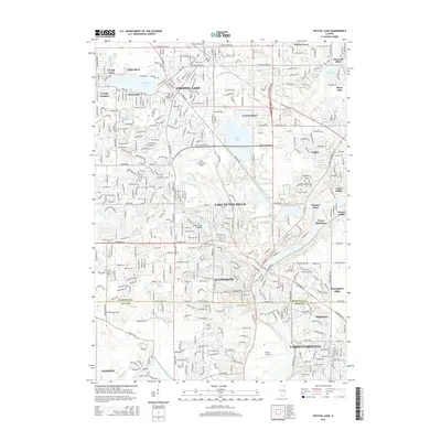
2015 Map of Crystal Lake
USGS Topo · Published 2015About this map
Crystal Lake and the Fox River corridor anchor this mid-2010s survey, illustrating the dense residential and commercial expansion across the border of McHenry and Kane Counties. The landscape is defined by its numerous water bodies, from the namesake Crystal Lake and the interconnected Vulcan Lakes to the Fox River which winds through the southern portion of the quadrangle near Algonquin. Urban development is concentrated around major thoroughfares like James R Rakow Rd and Algonquin Rd, where the Crystallake Plaza serves as a modern commercial hub.
Find a feature on this map
54 named features on this map. Tap any name to fly to it.
Don’t see what you’re looking for? This feature index may not catch every label — zoom into the map to look around manually.
Map Details
Editions of this 2015 Crystal Lake Map
This is the sole edition of this map. No revisions or reprints were ever made.
Other maps of this area

1920 · Grays Lake
USGS Topo · 1:62,500

1923 · Grays Lake
USGS Topo · 1:62,500

1923 · Barrington
USGS Topo · 1:62,500

1925 · Elgin
USGS Topo · 1:62,500

1926 · Mc Henry
USGS Topo · 1:62,500

1935 · Barrington
USGS Topo · 1:62,500

1940 · Elgin
USGS Topo · 1:62,500

1944 · McHenry
USGS Topo · 1:62,500

1954 · Rockford
USGS Topo · 1:250,000

1955 · Rockford
USGS Topo · 1:250,000