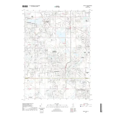
2018 Map of Crystal Lake
USGS Topo · Published 2018About this map
The Fox River corridor in northern Illinois is a complex landscape of suburban expansion, aviation, and historic water features. In the late 2010s, this area shows the dense residential grids of Crystal Lake and Cary alongside more specialized communities like Indian Trail Beach and Trout Valley. The northern portion of the map is dominated by the namesake Crystal Lake, while the central region is characterized by the massive reclaimed mining pits of the Vulcan Lakes and the operational Lake in the Hills Airport. Southward, the boundary between McHenry and Kane Counties marks a shift toward the riverside developments of Algonquin and Carpentersville. Local heritage is anchored by sites such as Union Cem and Buena Vista Cem, providing clear reference points for genealogists tracing family roots through these Fox Valley communities.
Find a feature on this map
66 named features on this map. Tap any name to fly to it.
Don’t see what you’re looking for? This feature index may not catch every label — zoom into the map to look around manually.
Map Details
Editions of this 2018 Crystal Lake Map
This is the sole edition of this map. No revisions or reprints were ever made.
Other maps of this area

1920 · Grays Lake
USGS Topo · 1:62,500

1923 · Grays Lake
USGS Topo · 1:62,500

1923 · Barrington
USGS Topo · 1:62,500

1925 · Elgin
USGS Topo · 1:62,500

1926 · Mc Henry
USGS Topo · 1:62,500

1935 · Barrington
USGS Topo · 1:62,500

1940 · Elgin
USGS Topo · 1:62,500

1944 · McHenry
USGS Topo · 1:62,500

1954 · Rockford
USGS Topo · 1:250,000

1955 · Rockford
USGS Topo · 1:250,000