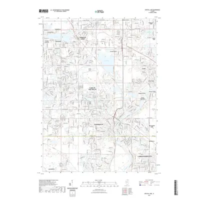
2021 Map of Crystal Lake
USGS Topo · Published 2021About this map
Crystal Lake and its surrounding communities are defined by a dense network of suburban development and interconnected waterways in the early 2020s. The map illustrates a landscape where recreational and residential spaces converge, highlighted by the namesake Crystal Lake and the gravel-quarry-turned-recreation area at Vulcan Lakes. To the south, the Fox River snakes through the territory, passing historical sites like Camp Algonquin and the riverside settlement of Haegers Bend.
Find a feature on this map
44 named features on this map. Tap any name to fly to it.
Don’t see what you’re looking for? This feature index may not catch every label — zoom into the map to look around manually.
Map Details
Editions of this 2021 Crystal Lake Map
This is the sole edition of this map. No revisions or reprints were ever made.
Other maps of this area
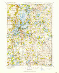
1920 · Grays Lake
USGS Topo · 1:62,500
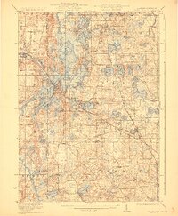
1923 · Grays Lake
USGS Topo · 1:62,500
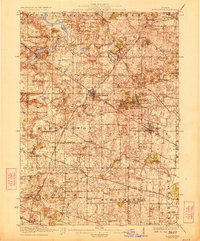
1923 · Barrington
USGS Topo · 1:62,500
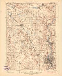
1925 · Elgin
USGS Topo · 1:62,500

1926 · Mc Henry
USGS Topo · 1:62,500
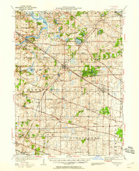
1935 · Barrington
USGS Topo · 1:62,500
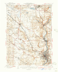
1940 · Elgin
USGS Topo · 1:62,500
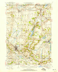
1944 · McHenry
USGS Topo · 1:62,500

1954 · Rockford
USGS Topo · 1:250,000

1955 · Rockford
USGS Topo · 1:250,000