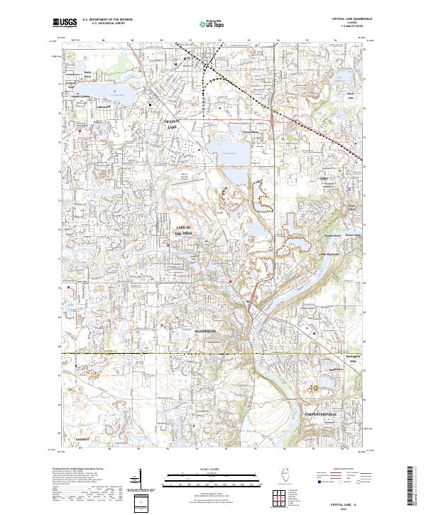
2024 Map of Crystal Lake
USGS Topo · Published 2024About this map
Crystal Lake and the surrounding McHenry County landscape are defined by a complex network of glacial lakes and the winding course of the Fox River. This contemporary survey illustrates the dense residential expansion of communities like Lake in the Hills and Algonquin, where suburban subdivisions now interface with former industrial sites such as Vulcan Lakes. Local history is anchored by long-standing landmarks like Union Cem and Crystal Lake Cem, while the recreational heritage of the area is preserved at Camp Algonquin and within the parklands of Lakewood. Transport patterns are shaped by major thoroughfares like W Terra Cotta Ave and the Lake in the Hills Airport, which serve as modern hubs for a region once primarily known for its summer resorts and early 20th-century estates in Trout Valley.
Find a feature on this map
52 named features on this map. Tap any name to fly to it.
Don’t see what you’re looking for? This feature index may not catch every label — zoom into the map to look around manually.
Map Details
Editions of this 2024 Crystal Lake Map
This is the sole edition of this map. No revisions or reprints were ever made.
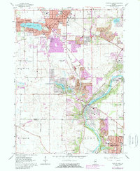
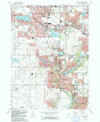
Historical Maps of Camp Algonquin Through Time
3 maps found
Featured Locations
- Algonquin, IL
- Rutland Township, IL
- Lake in the Hills, IL
- Crystal Lake, IL
- Carpentersville, Dundee Township