Loading...
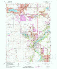
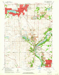
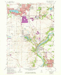
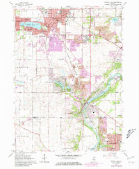
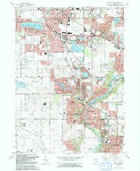
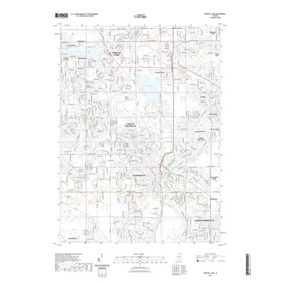
Loading map...1962 Map of Crystal Lake
USGS Topo · Published 1989About this map
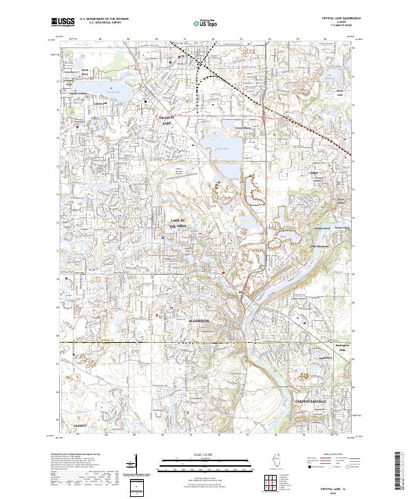
The Fox River carves through the eastern portion of this northern Illinois landscape, anchoring a string of riverside developments like Algonquin and Turner Camp. To the north, the established hub of Crystal Lake is surrounded by satellite communities including Lakewood, North Shore, and Crystal Vista. The presence of St Marys Seminary and numerous local schools such as Northwest Sch and South Jr High Sch indicates a period of significant suburban growth and community infrastructure.
Find a feature on this map
61 named features on this map. Tap any name to fly to it.
Don’t see what you’re looking for? This feature index may not catch every label — zoom into the map to look around manually.
Map Details
Date Portrayed1962
Date Published1989
PublisherU.S. Geological Survey
Map TypeTopographic
Scale1:24,000
Physical Dimensions22 x 26.9 inches
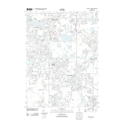
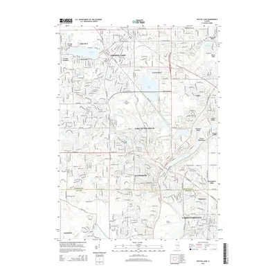
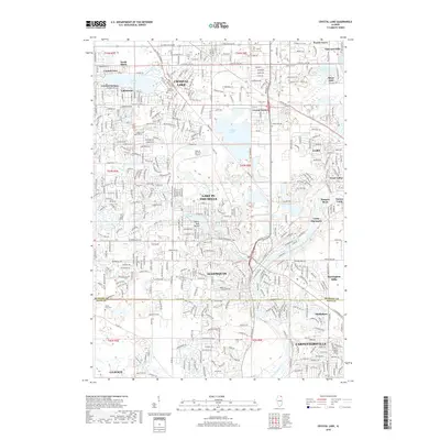
Editions of this 1962 Crystal Lake Map
4 editions found
Historical Maps of Crystal Lake Through Time
7 maps found
Featured Locations
- Algonquin, IL
- Rutland Township, IL
- Lake in the Hills, IL
- Crystal Lake, IL
- Carpentersville, Dundee Township
Source Details
SourceU.S. Geological Survey
CopyrightPublic Domain