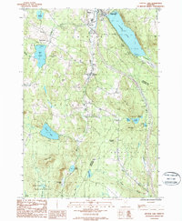
1986 Map of Crystal Lake
USGS Topo · Published 1987About this map
The Barton River valley serves as the primary corridor through this portion of the Northeast Kingdom, connecting the settlements of Barton, Glover, and West Glover. In the mid-1980s, the landscape remained characterized by its glacial hydrology, with numerous basins like Lake Parker, Shadow Lake, and the prominent Crystal Lake defining the local geography. The presence of Crystal Lake State Park at the northern edge reflects the area's long-standing transition from a purely agricultural and river-powered economy to one integrated with seasonal recreation.
Find a feature on this map
43 named features on this map. Tap any name to fly to it.
Don’t see what you’re looking for? This feature index may not catch every label — zoom into the map to look around manually.
Map Details
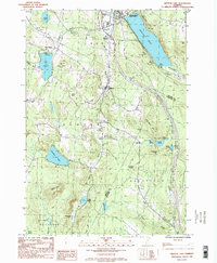
Editions of this 1986 Crystal Lake Map
2 editions found
Other maps of this area

1919 · Lake Memphremagog
USGS Topo · 1:62,500

1920 · Derby
USGS Topo · 1:62,500

1920 · Irasburg
USGS Topo · 1:62,500

1923 · Irasburg
USGS Topo · 1:48,000

1923 · Lake Memphremagog
USGS Topo · 1:48,000

1925 · Irasburg
USGS Topo · 1:62,500

1925 · Memphremagog
USGS Topo · 1:62,500

1928 · Hardwick
USGS Topo · 1:62,500

1934 · Hardwick
USGS Topo · 1:48,000

1935 · Lyndonville
USGS Topo · 1:48,000