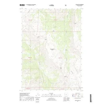
2017 Map of Crystal Peak
USGS Topo · Published 2017About this map
Crystal Peak and the high ridges of the Gros Ventre Range dominate this portion of the Teton National Forest in western Wyoming. The landscape is defined by its dramatic vertical relief, where several prominent summits like Antoinette Peak, Pyramid Peak, and Corner Peak tower over a network of deep drainages. Major watercourses, including Granite Creek, Crystal Creek, and Swift Creek, carve through the terrain, fed by higher-elevation sources like Box Lake. The map reveals a wild topography where significant landmarks such as Packsaddle Pass and Burnt Point provided essential navigation points for early travelers. In the eastern reaches of the quadrangle, The Meadows offers a rare break in the steep contour, providing a level clearing amidst the surrounding peaks and the headwaters of the W Fork Crystal Creek.
Find a feature on this map
29 named features on this map. Tap any name to fly to it.
Don’t see what you’re looking for? This feature index may not catch every label — zoom into the map to look around manually.
Map Details
Editions of this 2017 Crystal Peak Map
This is the sole edition of this map. No revisions or reprints were ever made.
Other maps of this area

1899 · Grand Teton
USGS Topo · 1:125,000

1901 · Grand Teton
USGS Topo · 1:125,000

1902 · Mt Leidy
USGS Topo · 1:125,000

1907 · Gros Ventre
USGS Topo · 1:125,000

1910 · Gros Ventre
USGS Topo · 1:125,000

1931 · Jackson
USGS Topo · 1:125,000

1935 · Jackson
USGS Topo · 1:125,000

1955 · Driggs
USGS Topo · 1:250,000

1958 · Driggs
USGS Topo · 1:250,000

1962 · Driggs
USGS Topo · 1:250,000