2022 Map of Crystal Springs
USGS Topo · Published 2022About this map
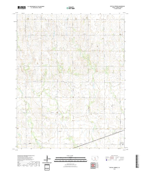
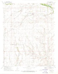
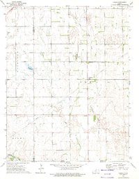
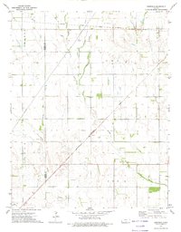
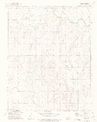
Attica serves as a primary point of reference in the southwestern corner of this landscape, situated near the confluence of several hydrologic features. The terrain is defined by the intricate dendritic drainage pattern of Bluff Cr and its various tributaries, including W Br Bluff Cr, Middle Br Bluff Cr, and E Br Bluff Cr. These waterways carve through the Harper County countryside, creating a complex series of draws and ridges that influence the local road network. For those researching family history or local land use, the map identifies specific points of interest such as the Melvin Cem and the Crystal Springs Mennonite Cem in the southeast. The rigid grid of section lines, marked by routes like NW 150 RD and NW 50 Ave, illustrates the persistent township and range system that has organized this agrarian region since its early settlement.
Find a feature on this map
69 named features on this map. Tap any name to fly to it.
Don’t see what you’re looking for? This feature index may not catch every label — zoom into the map to look around manually.
Map Details
Editions of this 2022 Crystal Springs Map
This is the sole edition of this map. No revisions or reprints were ever made.
Historical Maps of Harper County Through Time
18 maps found
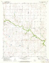
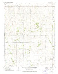
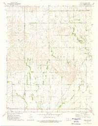
1971 Bluff City East
Harper County, KS
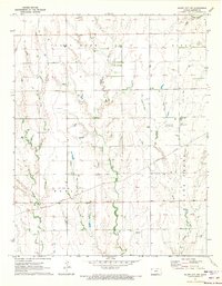
1971 Bluff City NW
Harper County, KS
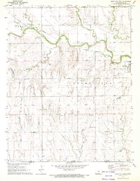
1971 Bluff City West
Harper County, KS
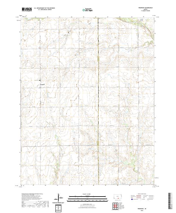
1971 Freeport
Harper County, KS
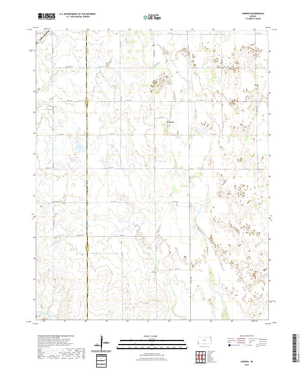
1972 Corwin
Harper County, KS
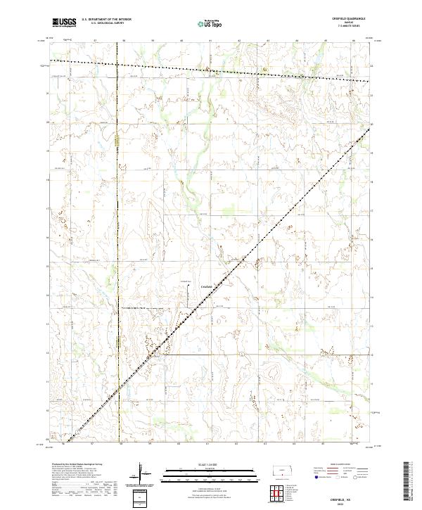
1972 Crisfield
Harper County, KS
1972 Spring
Harper County, KS
1973 Crystal Springs
Harper County, KS
1973 Zenda SE
Harper County, KS
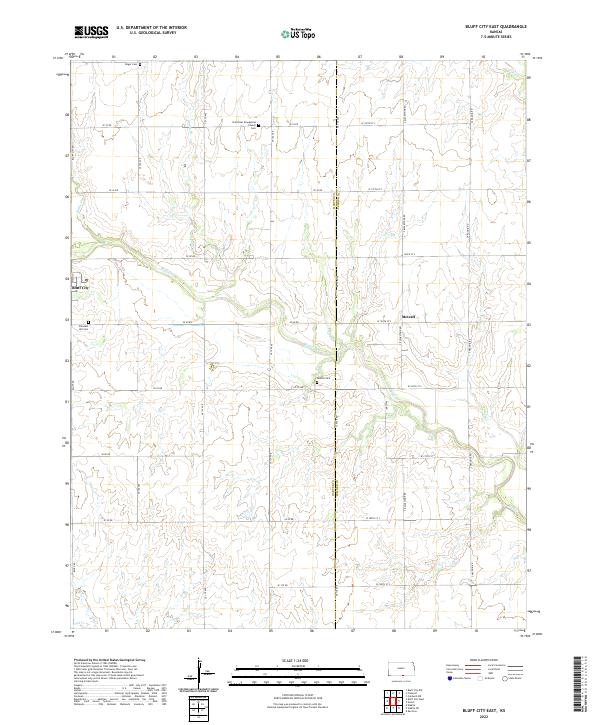
2022 Bluff City East
Harper County, KS
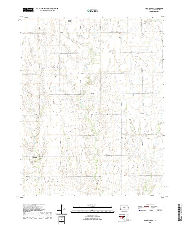
2022 Bluff City NW
Harper County, KS
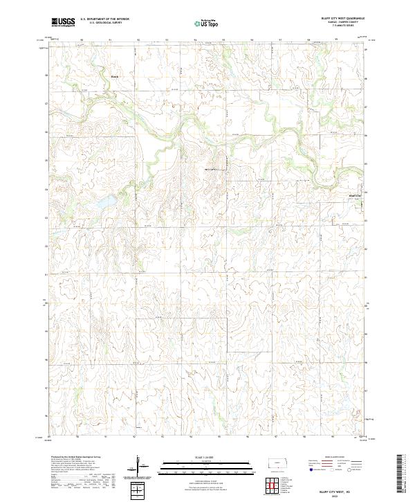
2022 Bluff City West
Harper County, KS
2022 Corwin
Harper County, KS
2022 Crisfield
Harper County, KS
2022 Crystal Springs
Harper County, KS
2022 Freeport
Harper County, KS
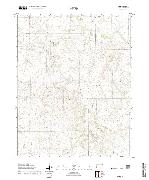
2022 Spring
Harper County, KS
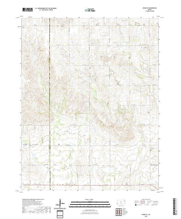
2022 Zenda SE
Harper County, KS