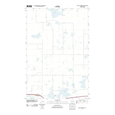
2011 Map of Crystal Springs
USGS Topo · Published 2011About this map
Crystal Springs anchors the southern edge of this North Dakota landscape, situated along the corridor of Hwy 10. The area is defined by a dense concentration of wetlands and water bodies, most notably the expansive Chase Lake in the north and Stink Lake near the settlement. These basins are central to the local geography, with the Chase Lake Dam managing the northern waters.
Find a feature on this map
17 named features on this map. Tap any name to fly to it.
Don’t see what you’re looking for? This feature index may not catch every label — zoom into the map to look around manually.
Map Details
Editions of this 2011 Crystal Springs Map
This is the sole edition of this map. No revisions or reprints were ever made.
Other maps of this area

1952 · Tappen SE
USGS Topo · 1:24,000

1952 · Tappen NE
USGS Topo · 1:24,000

1952 · New Rockford
USGS Topo · 1:250,000

1953 · Jamestown
USGS Topo · 1:250,000

1954 · Medina
USGS Topo · 1:24,000

1955 · Crystal Springs
USGS Topo · 1:24,000

1955 · Medina SW
USGS Topo · 1:24,000

1955 · Medina SE
USGS Topo · 1:24,000

1956 · New Rockford
USGS Topo · 1:250,000

1956 · Jamestown
USGS Topo · 1:250,000