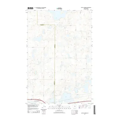
2014 Map of Crystal Springs
USGS Topo · Published 2014About this map
Crystal Springs sits at the southern edge of this landscape, positioned along a major transportation corridor near the border of Kidder and Stutsman counties. The area is defined by a dense network of glacial potholes and larger water bodies, most notably the expansive Chase Lake to the north and Stink Lake in the southeast. This pattern of internal drainage creates a complex mosaic of wetlands and small basins typical of the Missouri Coteau region.
Find a feature on this map
21 named features on this map. Tap any name to fly to it.
Don’t see what you’re looking for? This feature index may not catch every label — zoom into the map to look around manually.
Map Details
Editions of this 2014 Crystal Springs Map
This is the sole edition of this map. No revisions or reprints were ever made.
Other maps of this area

1952 · Tappen SE
USGS Topo · 1:24,000

1952 · Tappen NE
USGS Topo · 1:24,000

1952 · New Rockford
USGS Topo · 1:250,000

1953 · Jamestown
USGS Topo · 1:250,000

1954 · Medina
USGS Topo · 1:24,000

1955 · Crystal Springs
USGS Topo · 1:24,000

1955 · Medina SW
USGS Topo · 1:24,000

1955 · Medina SE
USGS Topo · 1:24,000

1956 · New Rockford
USGS Topo · 1:250,000

1956 · Jamestown
USGS Topo · 1:250,000