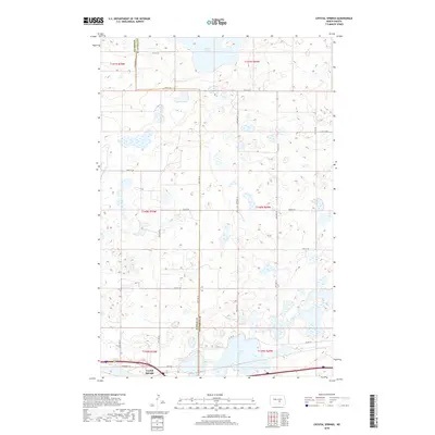
2018 Map of Crystal Springs
USGS Topo · Published 2018About this map
The small settlement of Crystal Springs sits at the southern edge of this prairie landscape, where the survey captures the boundary between Kidder Co and Stutsman Co. The terrain is characterized by a high concentration of wetlands and lakes, most notably the expansive Chase Lake in the north and the smaller Stink Lake to the southeast. These water bodies are connected by a network of sectional roads, including 48th Ave SE and 30th St SE, which define the agricultural grid typical of the region. Transportation follows the southern corridor, with Hwy 10 and Van Buren Ave providing the primary east-west access through the township. The map provides a clear view of the intersection of land and water in this portion of the Missouri Plateau.
Find a feature on this map
27 named features on this map. Tap any name to fly to it.
Don’t see what you’re looking for? This feature index may not catch every label — zoom into the map to look around manually.
Map Details
Editions of this 2018 Crystal Springs Map
This is the sole edition of this map. No revisions or reprints were ever made.
Other maps of this area

1952 · Tappen SE
USGS Topo · 1:24,000

1952 · Tappen NE
USGS Topo · 1:24,000

1952 · New Rockford
USGS Topo · 1:250,000

1953 · Jamestown
USGS Topo · 1:250,000

1954 · Medina
USGS Topo · 1:24,000

1955 · Crystal Springs
USGS Topo · 1:24,000

1955 · Medina SW
USGS Topo · 1:24,000

1955 · Medina SE
USGS Topo · 1:24,000

1956 · New Rockford
USGS Topo · 1:250,000

1956 · Jamestown
USGS Topo · 1:250,000