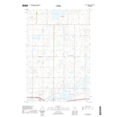
2020 Map of Crystal Springs
USGS Topo · Published 2020About this map
Crystal Springs sits at the southwestern edge of a landscape defined by an intricate network of wetlands and prairie potholes. The terrain is divided by the north-south boundary of Kidder Co Stutsman Co, marking a transition between these two central North Dakota counties. Large water bodies such as Chase Lake in the north and Stink Lake in the south dominate the hydrology of the area, surrounded by countless smaller unnamed basins. The local infrastructure follows a rigid section-line grid, with rural corridors like 29th St SE and Van Buren Ave providing access across the undulating plains. This 2020 data captures the area's modern agricultural and ecological state, where the transportation network of Co Rd 39 and various numbered streets serves the scattered farmsteads and conservation lands of the region.
Find a feature on this map
19 named features on this map. Tap any name to fly to it.
Don’t see what you’re looking for? This feature index may not catch every label — zoom into the map to look around manually.
Map Details
Editions of this 2020 Crystal Springs Map
This is the sole edition of this map. No revisions or reprints were ever made.
Other maps of this area

1952 · Tappen SE
USGS Topo · 1:24,000

1952 · Tappen NE
USGS Topo · 1:24,000

1952 · New Rockford
USGS Topo · 1:250,000

1953 · Jamestown
USGS Topo · 1:250,000

1954 · Medina
USGS Topo · 1:24,000

1955 · Crystal Springs
USGS Topo · 1:24,000

1955 · Medina SW
USGS Topo · 1:24,000

1955 · Medina SE
USGS Topo · 1:24,000

1956 · New Rockford
USGS Topo · 1:250,000

1956 · Jamestown
USGS Topo · 1:250,000