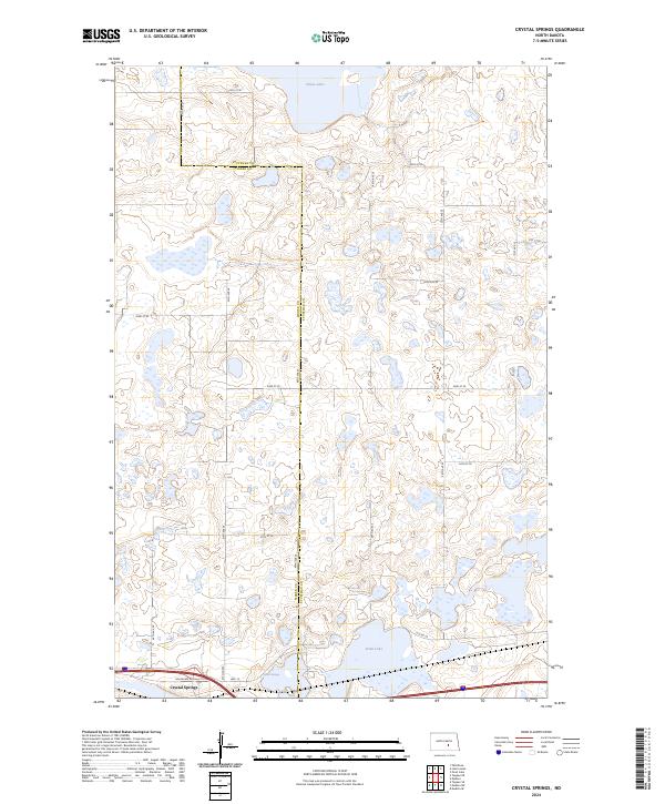
2024 Map of Crystal Springs
USGS Topo · Published 2024About this map
Crystal Springs sits at the southern edge of this landscape, positioned along the historical corridor of Hwy 10 and Van Buren Ave. This prairie pothole region, straddling the line between Kidder and Stutsman counties, is defined by its numerous small lakes and extensive conservation lands. The northern reaches are dominated by the Chase Lake National Wildlife Refuge and the Chase Lake Wilderness, centered around the waters of Chase Lake. Further south, the map reveals a patchwork of protected wetlands, including the Stutsman County Waterfowl Production Area and the Kidder County Waterfowl Production Area. The terrain is interconnected by a grid of rural routes such as 30th St SE and Co Rd 39, providing a look at the modern layout of this ecologically significant North Dakota plain near Stink Lake.
Find a feature on this map
25 named features on this map. Tap any name to fly to it.
Don’t see what you’re looking for? This feature index may not catch every label — zoom into the map to look around manually.
Map Details
Editions of this 2024 Crystal Springs Map
This is the sole edition of this map. No revisions or reprints were ever made.
Other maps of this area

1952 · Tappen SE
USGS Topo · 1:24,000

1952 · Tappen NE
USGS Topo · 1:24,000

1952 · New Rockford
USGS Topo · 1:250,000

1953 · Jamestown
USGS Topo · 1:250,000

1954 · Medina
USGS Topo · 1:24,000

1955 · Crystal Springs
USGS Topo · 1:24,000

1955 · Medina SW
USGS Topo · 1:24,000

1955 · Medina SE
USGS Topo · 1:24,000

1956 · New Rockford
USGS Topo · 1:250,000

1956 · Jamestown
USGS Topo · 1:250,000