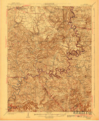
1925 Map of Cub Run
USGS Topo · Published 1941About this map
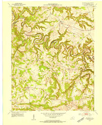
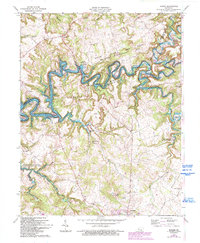
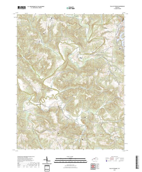
The Nolin River winds through a dense network of early 20th-century settlements and mills, defining the landscape where Grayson, Hardin, Hart, and Edmonson counties meet. This area, surveyed in the mid-1920s, shows the transition from a river-and-rail economy toward a more modern road network. The Illinois Central railroad serves the northern corridor at Clarkson and Grayson Springs Sta, while the river south of Millerstown remains the lifeblood for local industry, evidenced by landmarks like Wheeler Mill and Dickeys Mills.
Find a feature on this map
96 named features on this map. Tap any name to fly to it.
Don’t see what you’re looking for? This feature index may not catch every label — zoom into the map to look around manually.
Map Details
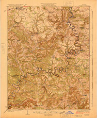
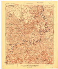
Editions of this 1925 Cub Run Map
3 editions found
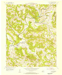
Historical Maps of Leitchfield Through Time
35 maps found
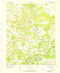
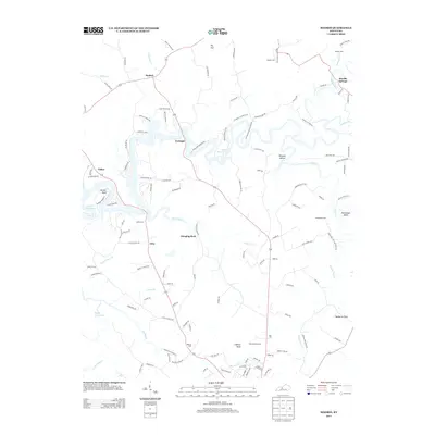
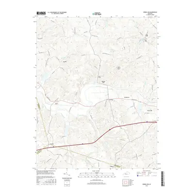
1925 Cub Run
Grayson County, KY
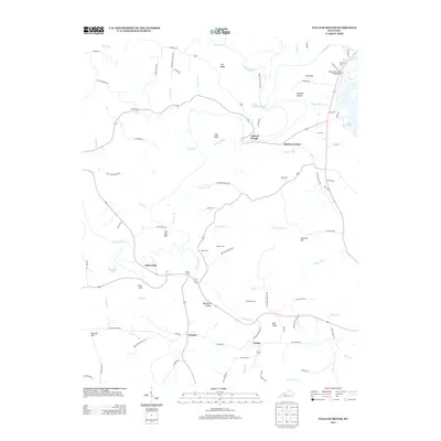
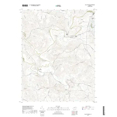
1953 Falls Of Rough
Grayson County, KY
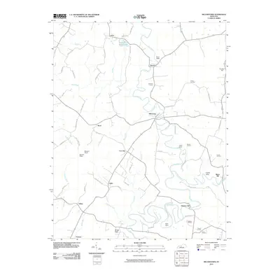
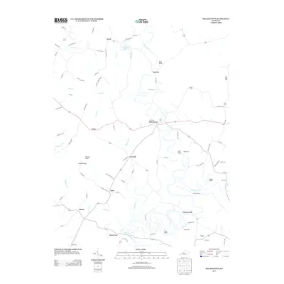
1953 Mc Daniels
Grayson County, KY
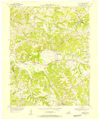
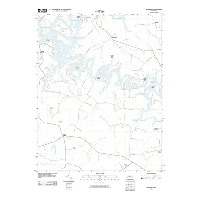
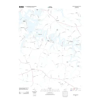
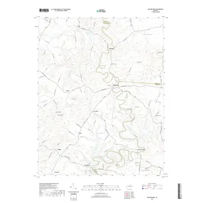
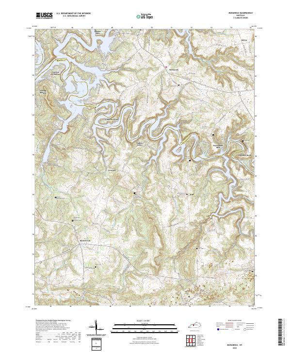
1954 Millerstown
Grayson County, KY
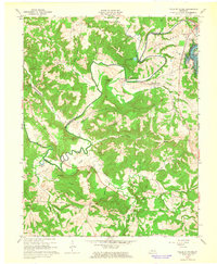
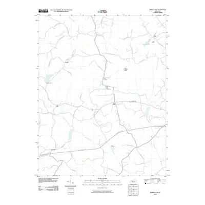
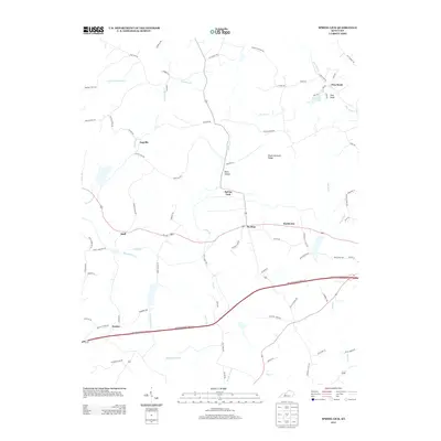
1954 Spring Lick
Grayson County, KY
1963 Falls of Rough
Grayson County, KY
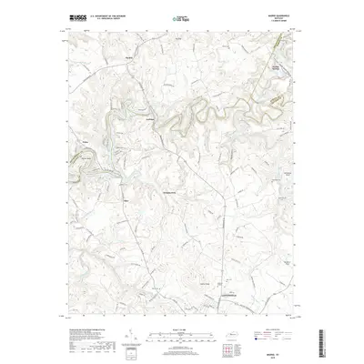
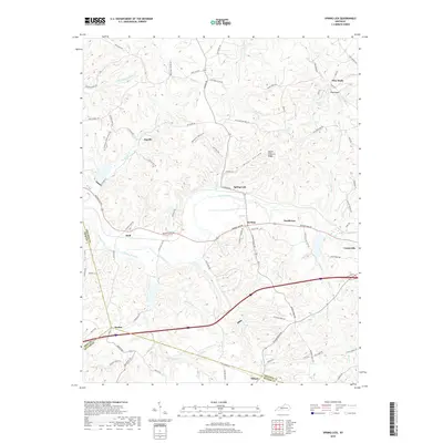
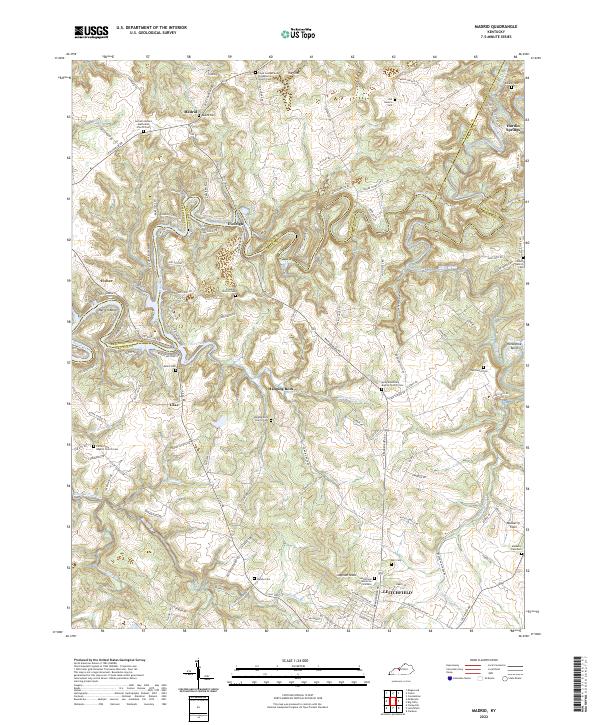
1963 Madrid
Grayson County, KY
1963 Mc Daniels
Grayson County, KY

1967 Millerstown
Grayson County, KY
1971 Spring Lick
Grayson County, KY
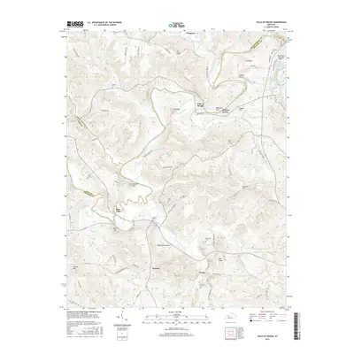
2010 Falls of Rough
Grayson County, KY

2010 Madrid
Grayson County, KY
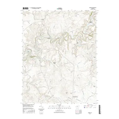
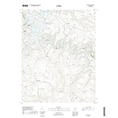
2010 McDaniels
Grayson County, KY
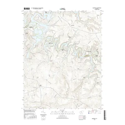
2010 Millerstown
Grayson County, KY
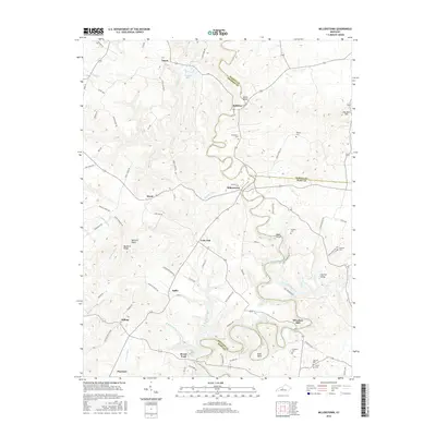
2010 Spring Lick
Grayson County, KY
2013 Falls of Rough
Grayson County, KY
2013 Madrid
Grayson County, KY
2013 McDaniels
Grayson County, KY
2013 Millerstown
Grayson County, KY
2013 Spring Lick
Grayson County, KY
2016 Falls of Rough
Grayson County, KY
2016 Madrid
Grayson County, KY
2016 McDaniels
Grayson County, KY
2016 Millerstown
Grayson County, KY
2016 Spring Lick
Grayson County, KY
2019 Falls of Rough
Grayson County, KY
2019 Madrid
Grayson County, KY
2019 McDaniels
Grayson County, KY
2019 Millerstown
Grayson County, KY
2019 Spring Lick
Grayson County, KY
2022 Falls of Rough
Grayson County, KY
2022 Madrid
Grayson County, KY
2022 McDaniels
Grayson County, KY
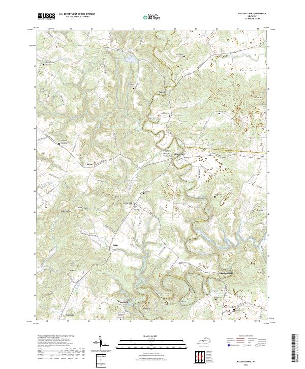
2022 Millerstown
Grayson County, KY
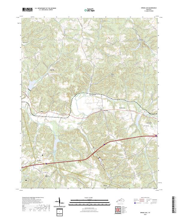
2022 Spring Lick
Grayson County, KY