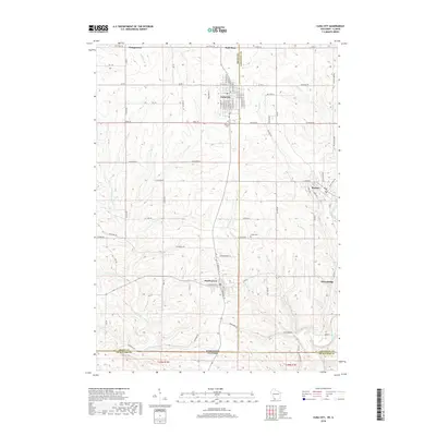
2018 Map of Cuba City
USGS Topo · Published 2018About this map
Cuba City serves as a primary hub for this portion of the Driftless Area, where the borders of Wisconsin and Illinois meet. The map reveals a landscape defined by its drainages, with the Sinsinawa River carving through the southwest while Scrabble Br and the Galena River shape the eastern terrain. Established communities like Benton, Hazel Green, and Georgetown are connected by a network of rural routes, including Louisburg Rd and Saint Rose Rd.
Find a feature on this map
87 named features on this map. Tap any name to fly to it.
Don’t see what you’re looking for? This feature index may not catch every label — zoom into the map to look around manually.
Map Details
Editions of this 2018 Cuba City Map
This is the sole edition of this map. No revisions or reprints were ever made.
Other maps of this area

1900 · Lancaster
USGS Topo · 1:125,000
1901 · Peosta
USGS Topo · 1:125,000
1902 · Mineral Point
USGS Topo · 1:125,000

1904 · Lancaster
USGS Topo · 1:125,000

1908 · Lancaster
USGS Topo · 1:125,000
1911 · Galena
USGS Topo · 1:62,500
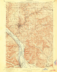
1913 · Galena
USGS Topo · 1:62,500
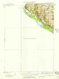
1935 · East Dubuque
USGS Topo · 1:62,500
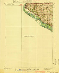
1940 · East Dubuque
USGS Topo · 1:62,500
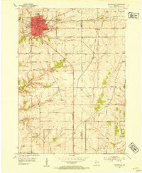
1952 · Platteville
USGS Topo · 1:24,000