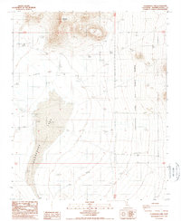
1988 Map of Cuddeback Lake
USGS Topo · Published 1988About this map
Cuddeback Lake (Depression) dominates this high desert landscape within San Bernardino County, appearing here in a late-1980s topographical study. The dry lake bed is flanked to the north by the prominent Almond Mountain and the sweeping terrain of Almond Cove. To the east, the map identifies Air Force Lake, a designation reflecting the region's military significance and its use as a landing or training area. Traces of human activity and resource extraction are sparse but present, notably at a recorded Prospect in the northeast and a dedicated Landing Strip situated on the eastern edge of the dry lake basin. The map provides a clear look at the intersection of natural drainage patterns and the infrastructure supporting desert operations during this era.
Find a feature on this map
10 named features on this map. Tap any name to fly to it.
Don’t see what you’re looking for? This feature index may not catch every label — zoom into the map to look around manually.
Map Details
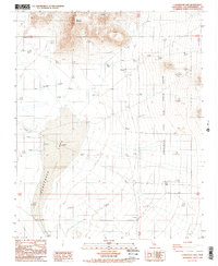
Editions of this 1988 Cuddeback Lake Map
2 editions found
Other maps of this area

1903 · Randsburg
USGS Topo · 1:62,500

1911 · Randsburg
USGS Topo · 1:62,500

1912 · Randsburg
USGS Topo · 1:62,500

1915 · Searles Lake
USGS Topo · 1:250,000

1947 · Trona
USGS Topo · 1:250,000

1948 · Trona
USGS Topo · 1:250,000

1953 · Trona
USGS Topo · 1:250,000
1954 · Boron
USGS Topo · 1:62,500

1954 · Cuddeback Lake
USGS Topo · 1:62,500

1956 · Fremont Peak
USGS Topo · 1:62,500