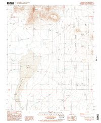
1988 Map of Cuddeback Lake
USGS Topo · Published 1988About this map
Cuddeback Lake dominates this high-desert landscape in the late 1980s, its dry bed serving as a centerpiece for specialized aviation and military activity. The eastern portion of the lakebed is designated as the Cuddeback Lake Air Force Range, supported by a remote Landing Strip positioned on the southern flats. The terrain is defined by dramatic elevation changes, rising sharply from the lake floor to the summit of Almond Mountain in the north and the sheltered Almond Cove below it. This provisional survey captures a moment when the area was primarily used for defense and resource exploration, evidenced by a marked Prospect in the hills east of the lake. The sparse infrastructure, limited largely to unimproved roads and technical markers, underscores the site's role as a restricted testing and training ground within the San Bernardino desert.
Find a feature on this map
9 named features on this map. Tap any name to fly to it.
Don’t see what you’re looking for? This feature index may not catch every label — zoom into the map to look around manually.
Map Details
Editions of this 1988 Cuddeback Lake Map
2 editions found
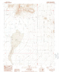
Other maps of this area

1903 · Randsburg
USGS Topo · 1:62,500

1911 · Randsburg
USGS Topo · 1:62,500

1912 · Randsburg
USGS Topo · 1:62,500

1915 · Searles Lake
USGS Topo · 1:250,000

1947 · Trona
USGS Topo · 1:250,000

1948 · Trona
USGS Topo · 1:250,000

1953 · Trona
USGS Topo · 1:250,000
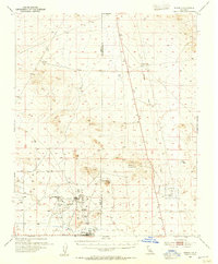
1954 · Boron
USGS Topo · 1:62,500

1954 · Cuddeback Lake
USGS Topo · 1:62,500

1956 · Fremont Peak
USGS Topo · 1:62,500