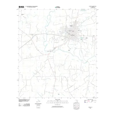
2010 Map of Cuero
USGS Topo · Published 2010About this map
Cuero serves as the focal point of this DeWitt County landscape, where the Guadalupe River meanders through a network of local creeks and agricultural tracts. The town center is notably dense with heritage sites, including the Cuero Commercial Historic District and the East Main Street Residential Historic District, reflecting the area's established civic identity. Near the river, industrial and utility landmarks like the Cuero Gin and City Water Works indicate the historical importance of the water supply and cotton processing to the local economy.
Find a feature on this map
52 named features on this map. Tap any name to fly to it.
Don’t see what you’re looking for? This feature index may not catch every label — zoom into the map to look around manually.
Map Details
Editions of this 2010 Cuero Map
This is the sole edition of this map. No revisions or reprints were ever made.
Other maps of this area
1953 · Beeville
USGS Topo · 1:250,000

1953 · Seguin
USGS Topo · 1:250,000
1956 · Beeville
USGS Topo · 1:250,000
1958 · Seguin
USGS Topo · 1:250,000
1960 · Beeville
USGS Topo · 1:250,000
1960 · Cuero
USGS Topo · 1:24,000
1960 · Concrete
USGS Topo · 1:24,000
1960 · Blackwell Lake
USGS Topo · 1:24,000
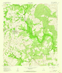
1960 · Westhoff
USGS Topo · 1:24,000
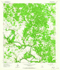
1962 · Verhelle
USGS Topo · 1:24,000