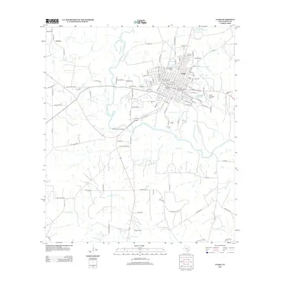
2013 Map of Cuero
USGS Topo · Published 2013About this map
Cuero sits prominently at a major bend in the Guadalupe River, where the landscape is defined by the winding paths of Sandies Cr, Fivemile Cr, and Threemile Cr. This modern survey details the town's preservation efforts, highlighting the Terrell-Reuss Streets Historic District, East Main Street Residential Historic District, and the Cuero Commercial Historic District. The settlement of Lindenau appears to the northwest, while the town proper is anchored by long-standing infrastructure like the City Water Works and transportation links such as E S Railroad St. Genealogists will find a high density of burial sites including Hillside Cem, Evergreen Cem, Westville Cem, and McCrabb Cem. The map illustrates the convergence of rural ranch roads with municipal centers, showing the transition from the banks of the Guadalupe River to the residential grids of a significant DeWitt County community.
Find a feature on this map
95 named features on this map. Tap any name to fly to it.
Don’t see what you’re looking for? This feature index may not catch every label — zoom into the map to look around manually.
Map Details
Editions of this 2013 Cuero Map
This is the sole edition of this map. No revisions or reprints were ever made.
Other maps of this area

1953 · Beeville
USGS Topo · 1:250,000

1953 · Seguin
USGS Topo · 1:250,000

1956 · Beeville
USGS Topo · 1:250,000

1958 · Seguin
USGS Topo · 1:250,000

1960 · Beeville
USGS Topo · 1:250,000

1960 · Cuero
USGS Topo · 1:24,000

1960 · Concrete
USGS Topo · 1:24,000

1960 · Blackwell Lake
USGS Topo · 1:24,000

1960 · Westhoff
USGS Topo · 1:24,000

1962 · Verhelle
USGS Topo · 1:24,000