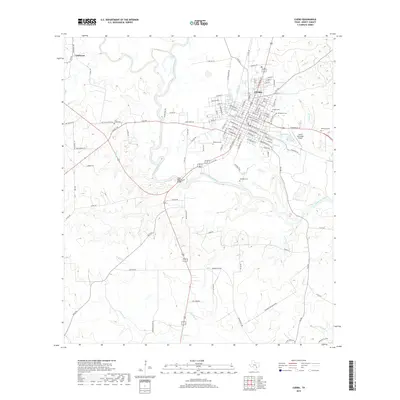
2019 Map of Cuero
USGS Topo · Published 2019About this map
The Guadalupe River serpentines through the center of this DeWitt County landscape, shaping the rural development and road networks south of Cuero. Numerous family and community burial grounds, such as Hillside Cem, Evergreen Cem, and the sequestered Lost Creek Cem, provide significant touchpoints for genealogical research and local history. The map detail highlights the integration of modern infrastructure like the Cuero Municipal Airport and the State Highway 27 Bridge with the traditional settlement patterns of the region.
Find a feature on this map
120 named features on this map. Tap any name to fly to it.
Don’t see what you’re looking for? This feature index may not catch every label — zoom into the map to look around manually.
Map Details
Editions of this 2019 Cuero Map
This is the sole edition of this map. No revisions or reprints were ever made.
Other maps of this area

1953 · Beeville
USGS Topo · 1:250,000

1953 · Seguin
USGS Topo · 1:250,000

1956 · Beeville
USGS Topo · 1:250,000

1958 · Seguin
USGS Topo · 1:250,000

1960 · Beeville
USGS Topo · 1:250,000

1960 · Cuero
USGS Topo · 1:24,000

1960 · Concrete
USGS Topo · 1:24,000

1960 · Blackwell Lake
USGS Topo · 1:24,000

1960 · Westhoff
USGS Topo · 1:24,000

1962 · Verhelle
USGS Topo · 1:24,000