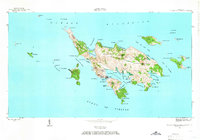
1948 Map of Culebra And Adjacent Islands
USGS Topo · Published 1966About this map
The town of Culebra serves as the central hub of this island geography, situated at the head of a complex harbor system. This 1948 survey by the Geological Survey and the Hydrographic Office details a landscape defined by deep inlets and protective cays. Residential areas are concentrated at Playa Sardinas I and Playa Sardinas II, bordering the sheltered waters of Bahía de Sardinas. The interior terrain rises toward Monte Resaca and Cerro Balcón, while the coastline is punctuated by dozens of named points and coves, from Pta del Soldado in the south to the northern reaches of the Península Flamenco.
Find a feature on this map
82 named features on this map. Tap any name to fly to it.
Don’t see what you’re looking for? This feature index may not catch every label — zoom into the map to look around manually.
Map Details
Editions of this 1948 Culebra And Adjacent Islands Map
2 editions found
Other maps of this area
1950 · Culebra And Adjacent Islands
USGS Topo · 1:30,000
2013 · Culebra OE E
USGS Topo · 1:20,000
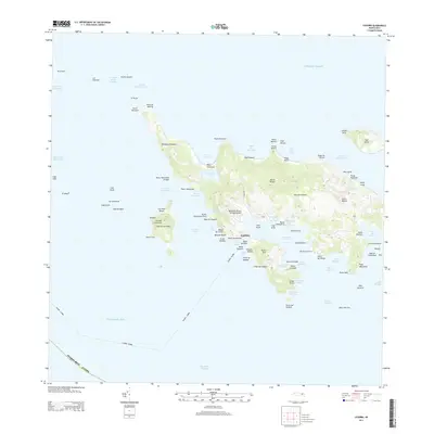
2013 · Culebra
USGS Topo · 1:20,000
2013 · Culebra OE W
USGS Topo · 1:20,000
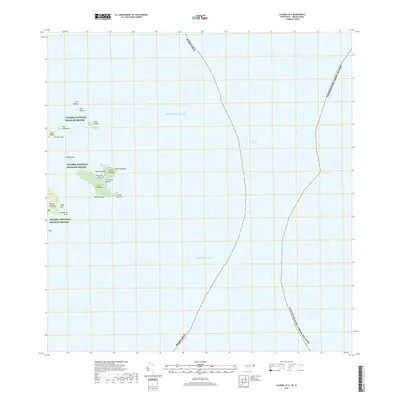
2018 · Culebra OE E
USGS Topo · 1:20,000
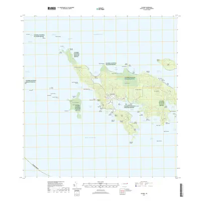
2018 · Culebra
USGS Topo · 1:20,000
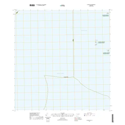
2018 · Culebra OE W
USGS Topo · 1:20,000
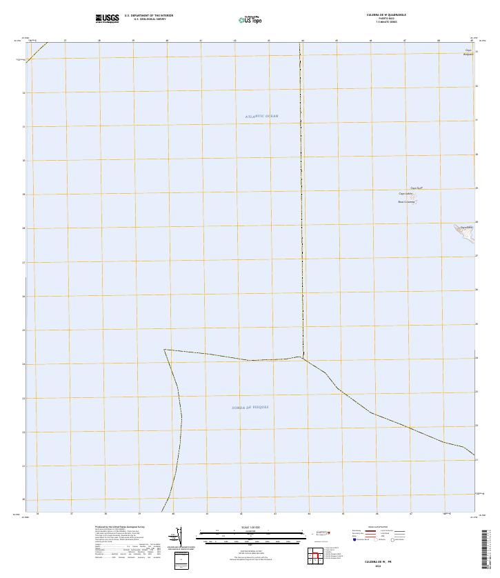
2024 · Culebra OE W
USGS Topo · 1:20,000
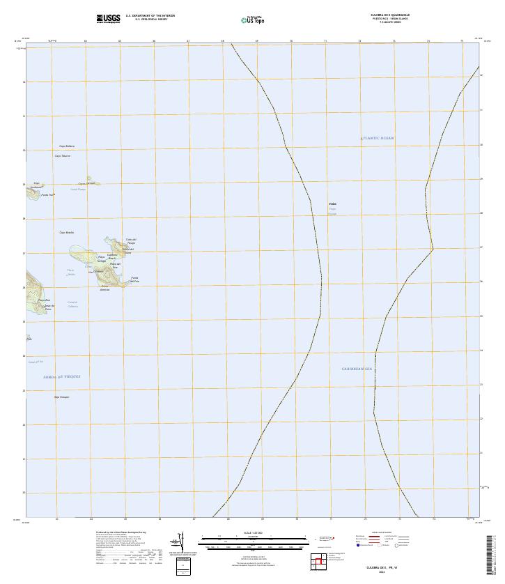
2024 · Culebra OE E
USGS Topo · 1:20,000
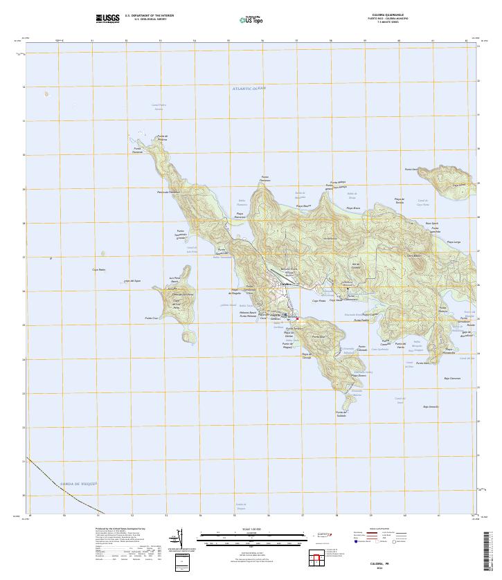
2024 · Culebra
USGS Topo · 1:20,000