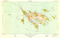
1950 Map of Culebra And Adjacent Islands
USGS Topo · Published 1950About this map
Culebra serves as the primary hub of this 1950 coastal survey, which details the intricate archipelago between the Océano Atlántico and the Sonda de Vieques. The settlement pattern centers on the deep harbor of Ensenada Honda, with residential clusters at Playa Sardinas I and Playa Sardinas II framing the sheltered Bahía de Sardinas. The landscape is defined by its dramatic peninsular reaches, such as the Península Flamenco, and several interior lagoons including Laguna del Flamenco and Laguna de Cornelio. Surrounding the main island, numerous smaller keys like Cayo de Luis Peña and Cayo Norte illustrate the navigational complexity of the Canal de Cayo Norte. This map captures the island's mid-century geography before the expansion of modern tourism infrastructure, focusing on the natural coastline and established harbor sites like Ensenada del Cementerio.
Find a feature on this map
77 named features on this map. Tap any name to fly to it.
Don’t see what you’re looking for? This feature index may not catch every label — zoom into the map to look around manually.
Map Details
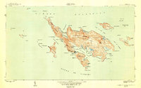
Editions of this 1950 Culebra And Adjacent Islands Map
2 editions found
Other maps of this area
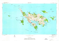
1948 · Culebra And Adjacent Islands
USGS Topo · 1:30,000
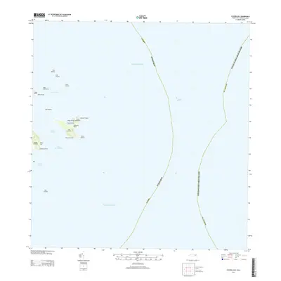
2013 · Culebra OE E
USGS Topo · 1:20,000
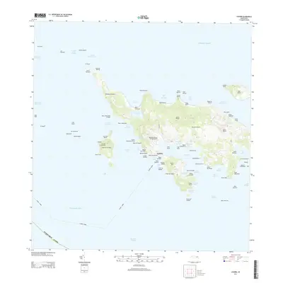
2013 · Culebra
USGS Topo · 1:20,000
2013 · Culebra OE W
USGS Topo · 1:20,000
2018 · Culebra OE E
USGS Topo · 1:20,000
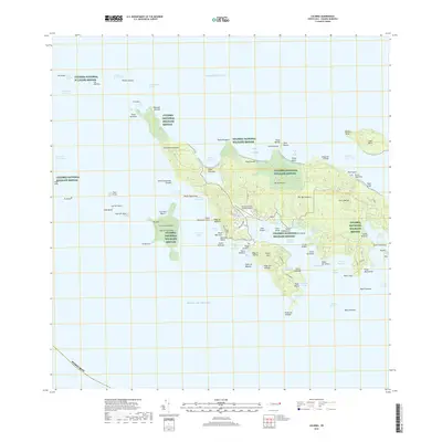
2018 · Culebra
USGS Topo · 1:20,000
2018 · Culebra OE W
USGS Topo · 1:20,000
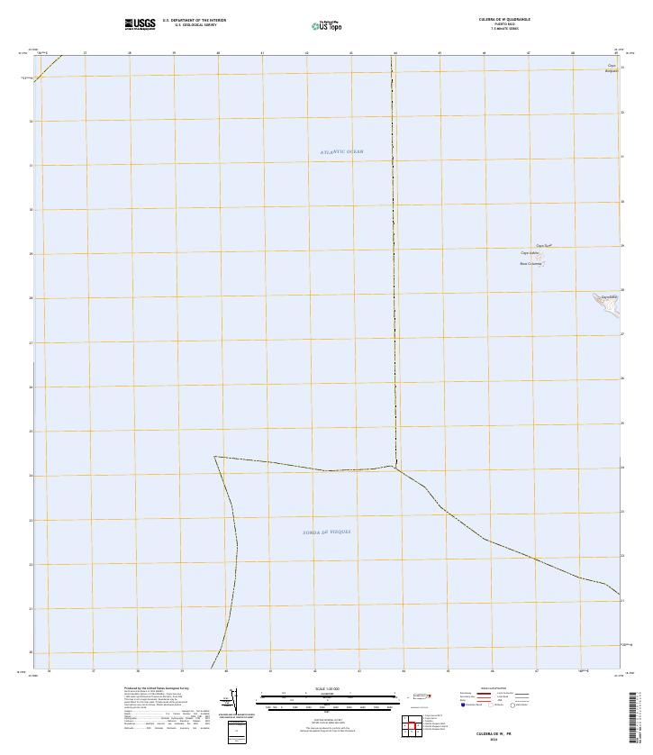
2024 · Culebra OE W
USGS Topo · 1:20,000
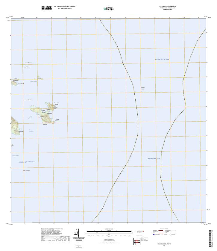
2024 · Culebra OE E
USGS Topo · 1:20,000
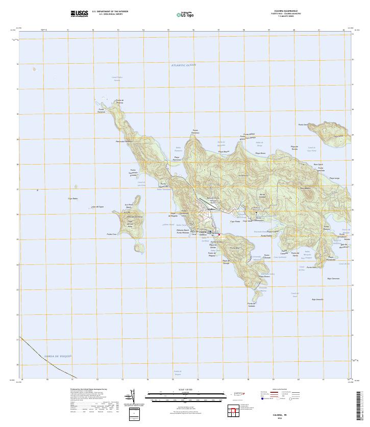
2024 · Culebra
USGS Topo · 1:20,000