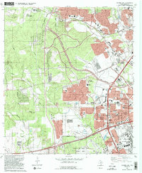
1993 Map of Culebra Hill
USGS Topo · Published 1993About this map
Lackland Air Force Base dominates the southern landscape of this 1993 revision, showcasing the military's extensive footprint in western San Antonio. The terrain is defined by the headwaters of Potranca Creek and Medio Creek, with Culebra Hill rising to the northwest. This period reflects a significant transition as suburban expansion pushes toward the San Antonio corporate boundary, evidenced by new residential developments like Lackland Heights and Westwood Village appearing alongside older landmarks.
Find a feature on this map
66 named features on this map. Tap any name to fly to it.
Don’t see what you’re looking for? This feature index may not catch every label — zoom into the map to look around manually.
Map Details
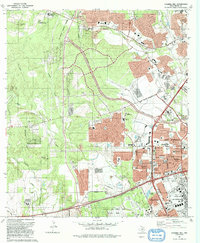
Editions of this 1993 Culebra Hill Map
2 editions found
Other maps of this area

1953 · Culebra Hill
USGS Topo · 1:24,000

1953 · San Antonio West
USGS Topo · 1:24,000

1953 · Terrell Wells
USGS Topo · 1:24,000

1953 · Macdona
USGS Topo · 1:24,000

1953 · Helotes
USGS Topo · 1:24,000

1953 · Castle Hills
USGS Topo · 1:24,000

1954 · San Antonio
USGS Topo · 1:250,000

1956 · Medina Lake
USGS Topo · 1:62,500

1957 · San Antonio
USGS Topo · 1:250,000

1958 · La Coste
USGS Topo · 1:24,000