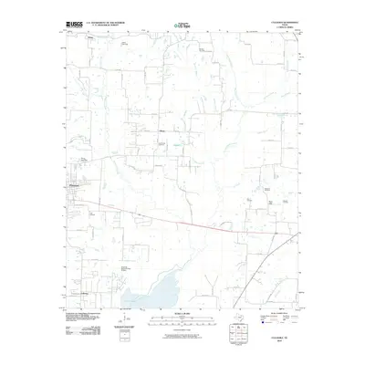
2010 Map of Culleoka
USGS Topo · Published 2010About this map
Lavon Lake dominates the southern landscape of this North Texas quadrangle, where the waters of Sister Grove Creek and Elm Creek feed into the reservoir. This 2010 survey reveals a rural territory defined by small settlements and family legacy sites, including several burial grounds such as Verona Cemetery and Van Winkle Cemetery. The township of Princeton sits on the western edge, while smaller crossroads like Climax and Altoga anchor the northern reaches. The area's aviation and transport infrastructure is represented by JSI Airport, positioned between the growing residential grids of Princeton and the open country surrounding Hays Hills. Numerous small water control structures, such as the Lewis Lake Dam and Pierce Pond Dam, illustrate the management of the local drainage basins before they reach the larger lake.
Find a feature on this map
71 named features on this map. Tap any name to fly to it.
Don’t see what you’re looking for? This feature index may not catch every label — zoom into the map to look around manually.
Map Details
Editions of this 2010 Culleoka Map
This is the sole edition of this map. No revisions or reprints were ever made.
Other maps of this area

1924 · Farmersville 3-c
USGS Topo · 1:48,000

1924 · Mc Kinney 4-d
USGS Topo · 1:48,000

1929 · McKinney
USGS Topo · 1:62,500

1930 · Farmersville
USGS Topo · 1:62,500

1954 · Sherman
USGS Topo · 1:250,000

1958 · Sherman
USGS Topo · 1:250,000

1959 · Wylie
USGS Topo · 1:24,000

1960 · McKinney East
USGS Topo · 1:24,000

1960 · Blue Ridge
USGS Topo · 1:24,000

1960 · Pike
USGS Topo · 1:24,000