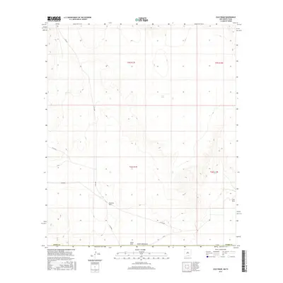
2017 Map of Culp Draw
USGS Topo · Published 2017About this map
Jim Tank and Fourmile Tank reflect the essential water infrastructure required for survival and industry in this arid portion of Otero County. Surveyed in 2017, the landscape is defined by its drainage patterns and utilitarian road network, including Fourmile Draw and Club Draw which dictate the flow of seasonal runoff across the high desert plains. Evidence of modern rural management is found in the designated routes such as Co RD g001 and FM 1576 near the Texas border. The map provides a detailed view of the township and range system, specifically within t25s r17e and t26s r18e, marking the transition between open range and the organized boundaries of southern New Mexico.
Find a feature on this map
20 named features on this map. Tap any name to fly to it.
Don’t see what you’re looking for? This feature index may not catch every label — zoom into the map to look around manually.
Map Details
Editions of this 2017 Culp Draw Map
This is the sole edition of this map. No revisions or reprints were ever made.
Other maps of this area

1951 · Dell City
USGS Topo · 1:62,500

1954 · Carlsbad
USGS Topo · 1:250,000

1954 · Van Horn
USGS Topo · 1:250,000

1955 · Cerro Diablo
USGS Topo · 1:62,500

1958 · Van Horn
USGS Topo · 1:250,000

1958 · Carlsbad
USGS Topo · 1:250,000

1969 · Lewis Canyon
USGS Topo · 1:24,000
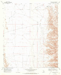
1969 · Sheep Draw
USGS Topo · 1:24,000
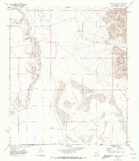
1969 · Cienega School
USGS Topo · 1:24,000
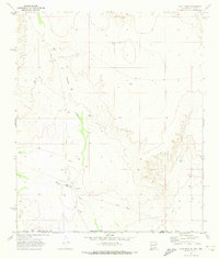
1969 · Culp Draw
USGS Topo · 1:24,000