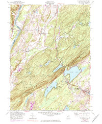
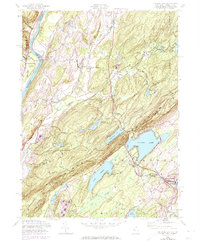
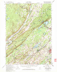
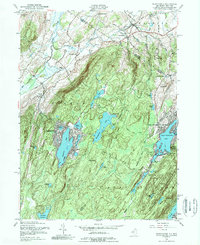
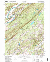
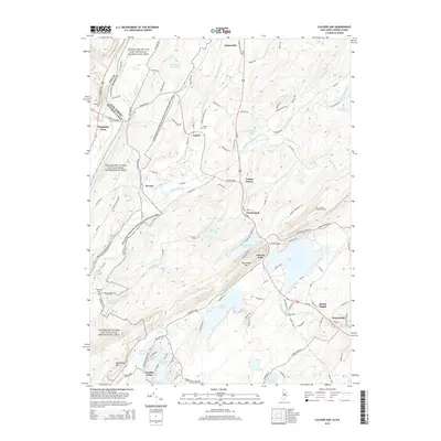
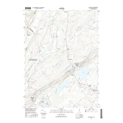
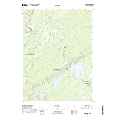
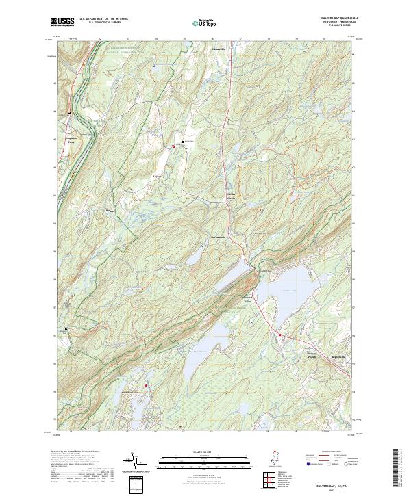
1954 Map of Culvers Gap
USGS Topo · Published 1984About this map
Stokes State Forest blankets the center of this terrain, where the crest of Kittatinny Mountain is pierced by the dramatic Culvers Gap. This mid-century survey captures a landscape defined by seasonal camps and rural outposts, including Peters Valley and the crossroads of Layton. To the west, the Delaware River forms the state boundary near Dingmans Ferry, where the Township School and Old Mine Road hint at older patterns of settlement.
Find a feature on this map
51 named features on this map. Tap any name to fly to it.
Don’t see what you’re looking for? This feature index may not catch every label — zoom into the map to look around manually.
Map Details
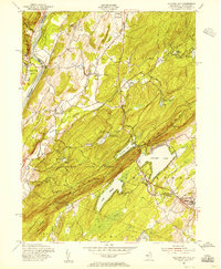
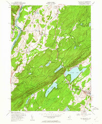
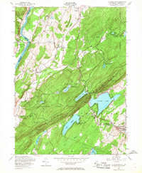
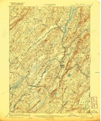
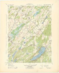
Editions of this 1954 Culvers Gap Map
5 editions found
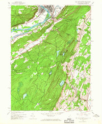
Historical Maps of Hampton Township Through Time
41 maps found
1903 Franklin Furnace
Sussex County, NJ

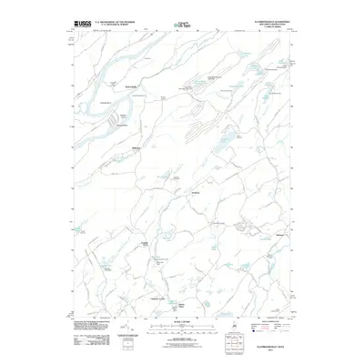
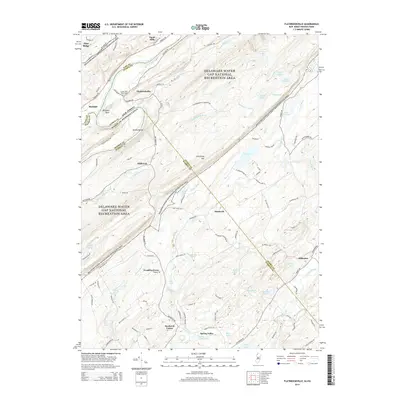
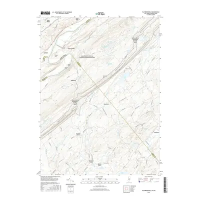
1943 Flatbrookville
Sussex County, NJ

1943 Franklin Furnace
Sussex County, NJ
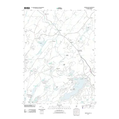
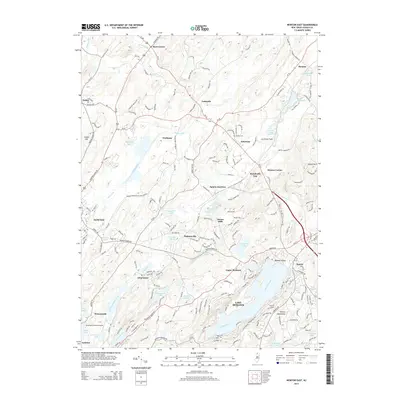
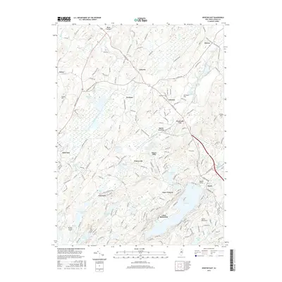
1943 Newton East
Sussex County, NJ
1943 Port Jervis South
Sussex County, NJ
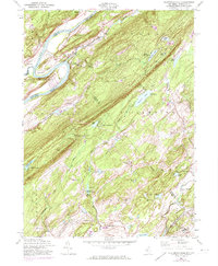
1954 Culvers Gap
Sussex County, NJ
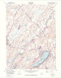
1954 Dingmans Ferry
Sussex County, NJ
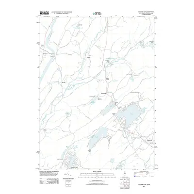
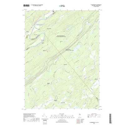
1954 Flatbrookville
Sussex County, NJ
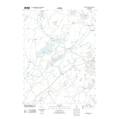
1954 Newton East
Sussex County, NJ
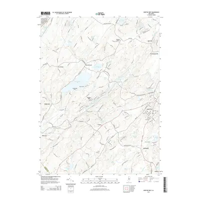
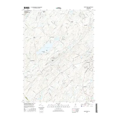
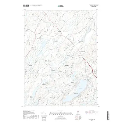
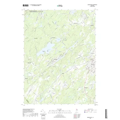
1954 Newton West
Sussex County, NJ
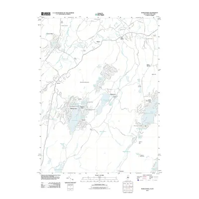
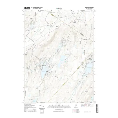
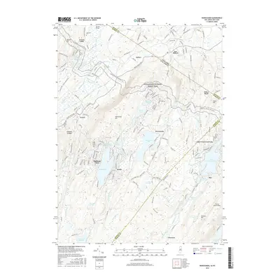
1954 Wawayanda
Sussex County, NJ
1976 Flatbrookville
Sussex County, NJ

1992 Flatbrookville
Sussex County, NJ
1994 Newton West
Sussex County, NJ
1994 Wawayanda
Sussex County, NJ
1997 Flatbrookville
Sussex County, NJ
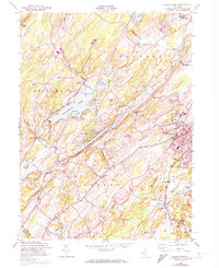
2011 Culvers Gap
Sussex County, NJ
2011 Flatbrookville
Sussex County, NJ
2011 Newton East
Sussex County, NJ
2011 Newton West
Sussex County, NJ
2011 Wawayanda
Sussex County, NJ
2014 Culvers Gap
Sussex County, NJ
2014 Flatbrookville
Sussex County, NJ
2014 Newton East
Sussex County, NJ
2014 Newton West
Sussex County, NJ
2014 Wawayanda
Sussex County, NJ
2016 Culvers Gap
Sussex County, NJ
2016 Flatbrookville
Sussex County, NJ
2016 Newton East
Sussex County, NJ
2016 Newton West
Sussex County, NJ
2016 Wawayanda
Sussex County, NJ
2019 Culvers Gap
Sussex County, NJ
2019 Flatbrookville
Sussex County, NJ
2019 Newton East
Sussex County, NJ
2019 Newton West
Sussex County, NJ
2019 Wawayanda
Sussex County, NJ
2023 Culvers Gap
Sussex County, NJ
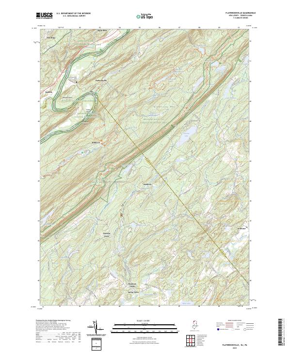
2023 Flatbrookville
Sussex County, NJ
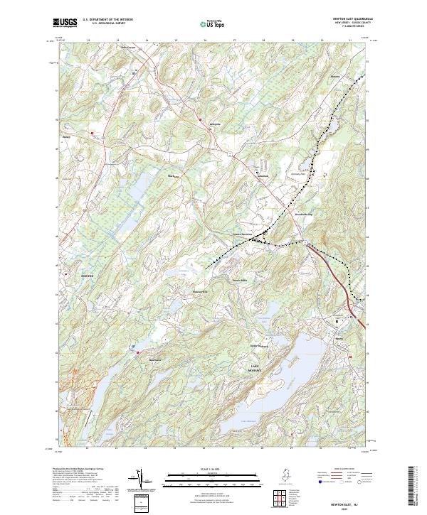
2023 Newton East
Sussex County, NJ
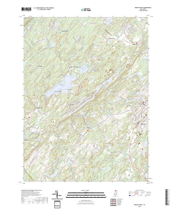
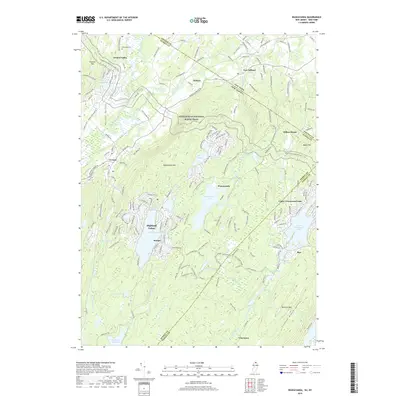
2023 Newton West
Sussex County, NJ
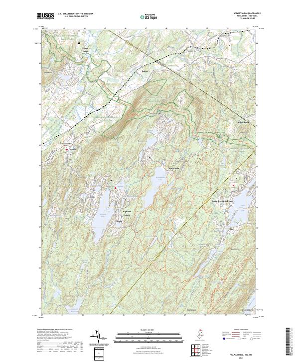
2023 Wawayanda
Sussex County, NJ
Featured Locations
- Stillwater Township, NJ
- Branchville, NJ
- Hampton Township, NJ
- Montague Township, NJ
- Sandyston Township, NJ