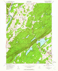
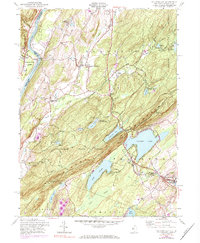
1954 Map of Culvers Gap
USGS Topo · Published 1962About this map
Kittatinny Mountain dominates this mid-century landscape, bisected by the Appalachian Trail as it runs along the ridge above Culvers Lake. The area shows a transition between traditional agricultural settlements like Layton and Peters Valley (Bevans P O) and the growing recreational character of Stokes State Forest. Numerous youth camps, including the Madeleine Mulford Girl Scout Camp and Sakawawin Boy Scout Camp, are situated near glacial water bodies like Lake Ashroe and Lake Owassa. The Delaware River forms the western boundary, where the historic Dingmans Ferry crossing connects New Jersey to Pennsylvania. Researchers will find a preserved network of rural institutions, from the Sandyston Ch to the Wallpack Consolidated Sch, alongside the legacy of the East West Jersey Line (Blue Mtn) survey boundary.
Find a feature on this map
47 named features on this map. Tap any name to fly to it.
Don’t see what you’re looking for? This feature index may not catch every label — zoom into the map to look around manually.
Map Details
Editions of this 1954 Culvers Gap Map
5 editions found
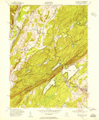
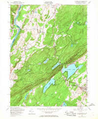
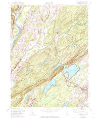
Other maps of this area

1888 · Franklin
USGS Topo · 1:62,500

1891 · Wallpack
USGS Topo · 1:62,500

1893 · Wallpack
USGS Topo · 1:62,500

1894 · Franklin
USGS Topo · 1:62,500

1897 · Franklin
USGS Topo · 1:62,500

1903 · Franklin Furnace
USGS Topo · 1:62,500

1906 · Port Jervis
USGS Topo · 1:62,500

1908 · Port Jervis
USGS Topo · 1:62,500

1913 · Milford
USGS Topo · 1:62,500

1915 · Milford
USGS Topo · 1:62,500
Featured Places
- Hampton Township, NJ
- Stillwater Township, NJ
- Montague Township, NJ
- Branchville, NJ
- Sandyston Township, NJ