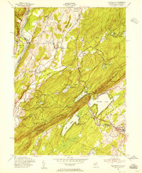
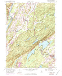
1954 Map of Culvers Gap
USGS Topo · Published 1956About this map
Kittatinny Mountain dominates this landscape, its ridgeline followed by the Appalachian Trail as it overlooks a network of summer camps and small rural settlements in the mid-1950s. The Delaware River forms the western boundary, where the Dingmans Ferry crossing connects New Jersey to Pennsylvania. The interior valley is defined by the winding paths of Little Flat Brook and Big Flat Brook, which supported small communities like Layton and Bevans.
Find a feature on this map
52 named features on this map. Tap any name to fly to it.
Don’t see what you’re looking for? This feature index may not catch every label — zoom into the map to look around manually.
Map Details
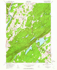
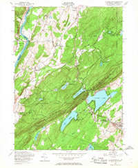
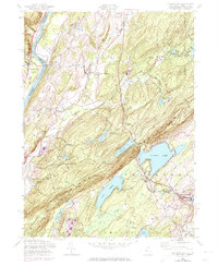
Editions of this 1954 Culvers Gap Map
5 editions found
Other maps of this area

1888 · Franklin
USGS Topo · 1:62,500

1891 · Wallpack
USGS Topo · 1:62,500

1893 · Wallpack
USGS Topo · 1:62,500

1894 · Franklin
USGS Topo · 1:62,500

1897 · Franklin
USGS Topo · 1:62,500

1903 · Franklin Furnace
USGS Topo · 1:62,500

1906 · Port Jervis
USGS Topo · 1:62,500

1908 · Port Jervis
USGS Topo · 1:62,500

1913 · Milford
USGS Topo · 1:62,500

1915 · Milford
USGS Topo · 1:62,500
Featured Places
- Hampton Township, NJ
- Stillwater Township, NJ
- Montague Township, NJ
- Branchville, NJ
- Sandyston Township, NJ