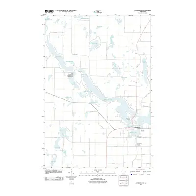
2010 Map of Cumberland
USGS Topo · Published 2010About this map
Cumberland is characterized by its intricate relationship with the surrounding water, situated on a landform nearly surrounded by Beaver Dam Lake. This 2010 survey illustrates the town's dense layout, where the Cumberland Post Office and Library Lake serve as central community landmarks. The shoreline is highly developed, with numerous residential streets like Jeffrey Blvd and Fuller Ave reaching toward the water's edge.
Find a feature on this map
74 named features on this map. Tap any name to fly to it.
Don’t see what you’re looking for? This feature index may not catch every label — zoom into the map to look around manually.
Map Details
Editions of this 2010 Cumberland Map
This is the sole edition of this map. No revisions or reprints were ever made.
Other maps of this area

1950 · Turtle Lake
USGS Topo · 1:62,500

1951 · Cumberland
USGS Topo · 1:48,000

1951 · Shell Lake
USGS Topo · 1:48,000

1951 · Barron
USGS Topo · 1:62,500

1952 · Turtle Lake
USGS Topo · 1:62,500

1953 · Rice Lake
USGS Topo · 1:250,000

1953 · Stillwater
USGS Topo · 1:250,000

1955 · Stillwater
USGS Topo · 1:250,000

1956 · Cumberland
USGS Topo · 1:62,500

1958 · Stillwater
USGS Topo · 1:250,000