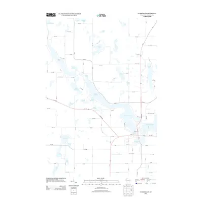
2013 Map of Cumberland
USGS Topo · Published 2013About this map
Beaver Dam Lake dominates this Barron County landscape, its irregular shoreline and intricate channels defining the character of the settlement around Library Lake and Collingwood Lake. The water management infrastructure of the early 21st century is evident at the Beaver Lake Dam, while the surrounding terrain is a mosaic of smaller basins including Kidney Lake, Lower Spirit Lake, and Upper Spirit Lake.
Find a feature on this map
59 named features on this map. Tap any name to fly to it.
Don’t see what you’re looking for? This feature index may not catch every label — zoom into the map to look around manually.
Map Details
Editions of this 2013 Cumberland Map
This is the sole edition of this map. No revisions or reprints were ever made.
Other maps of this area

1950 · Turtle Lake
USGS Topo · 1:62,500

1951 · Cumberland
USGS Topo · 1:48,000

1951 · Shell Lake
USGS Topo · 1:48,000

1951 · Barron
USGS Topo · 1:62,500

1952 · Turtle Lake
USGS Topo · 1:62,500

1953 · Rice Lake
USGS Topo · 1:250,000

1953 · Stillwater
USGS Topo · 1:250,000

1955 · Stillwater
USGS Topo · 1:250,000

1956 · Cumberland
USGS Topo · 1:62,500

1958 · Stillwater
USGS Topo · 1:250,000