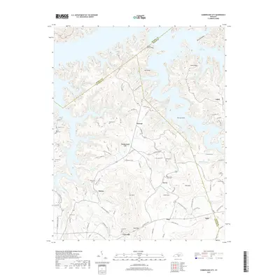
2019 Map of Cumberland City
USGS Topo · Published 2019About this map
Cumberland City and surrounding settlements like Watauga and Marlow anchor this landscape along the southern reaches of Lake Cumberland. The map reveals a deeply dissected terrain characterized by prominent ridges and knobs, including Sulpher Spring Ridge, Beck Ridge, and the distinct summit of Short Mtn. A network of rural routes, such as Jones Mill Rd and Shelton Town Rd, connects these upland communities. Genealogists will find a high concentration of burial sites throughout the region, ranging from the Walnut Grove Church Cem to smaller family-named plots like McWhorter Cem and Hopkins Cem. The southern border area includes the community of Cartwright and the geographic landmark known as Road Gap, marking a transition in the local topography where numerous branches and creeks, such as Brumley Cr and Stillhouse Br, drain toward the main lake body.
Find a feature on this map
91 named features on this map. Tap any name to fly to it.
Don’t see what you’re looking for? This feature index may not catch every label — zoom into the map to look around manually.
Map Details
Editions of this 2019 Cumberland City Map
This is the sole edition of this map. No revisions or reprints were ever made.
Other maps of this area

1911 · Monticello
USGS Topo · 1:62,500

1914 · Monticello
USGS Topo · 1:62,500

1929 · Byrdstown
USGS Topo · 1:62,500

1934 · Pall Mall
USGS Topo · 1:62,500

1953 · Parnell
USGS Topo · 1:24,000

1953 · Wolf Creek Dam
USGS Topo · 1:24,000

1953 · Creelsboro
USGS Topo · 1:24,000

1953 · Jamestown
USGS Topo · 1:24,000

1954 · Jabez
USGS Topo · 1:24,000

1954 · Cumberland City
USGS Topo · 1:24,000