
1958 Map of Cumberland Furnace
USGS Topo · Published 1959About this map
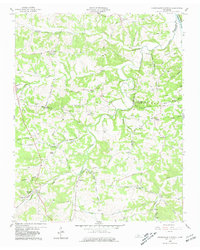
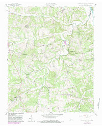
Cumberland Furnace sits as a primary anchor in this 1958 survey, located at the edge of the iron-rich hills near Butcher Ridge. The landscape is deeply dissected by drainage systems like Big Bartons Creek and Louise Creek, which shaped the settlement patterns of Montgomery, Dickson, and Cheatham counties. The map documents a rural society built around small crossroads and family legacies, evidenced by the high density of private burial grounds such as Winkley Cem and Hagewood Cem.
Find a feature on this map
73 named features on this map. Tap any name to fly to it.
Don’t see what you’re looking for? This feature index may not catch every label — zoom into the map to look around manually.
Map Details
Editions of this 1958 Cumberland Furnace Map
3 editions found
Other maps of this area

1930 · White Bluff
USGS Topo · 1:62,500

1933 · White Bluff
USGS Topo · 1:62,500

1956 · Nashville
USGS Topo · 1:250,000

1957 · Cheatham Dam
USGS Topo · 1:24,000

1957 · Henrietta
USGS Topo · 1:24,000

1958 · Charlotte
USGS Topo · 1:24,000
1958 · Vanleer
USGS Topo · 1:24,000
1958 · Palmyra
USGS Topo · 1:24,000
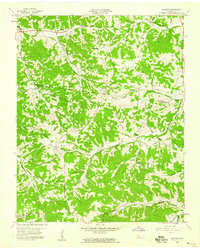
1958 · Slayden
USGS Topo · 1:24,000
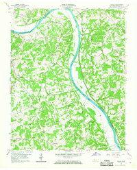
1958 · Excell
USGS Topo · 1:24,000