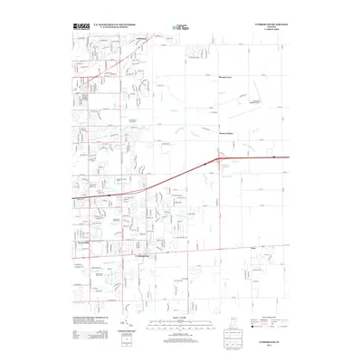
2013 Map of Cumberland
USGS Topo · Published 2013About this map
Cumberland serves as the focal point for this suburban and agricultural landscape on the outskirts of Indianapolis during the early 21st century. The map reveals a transition from dense residential developments like Warren Hills and Bells Run to the more open, drain-laced fields of Mount Comfort and Gem. A complex network of artificial waterways, including Steele Ditch, Heinrich Ditch, and Jay Ditch, illustrates the extensive hydrological management required to maintain the region's agricultural and residential land.
Find a feature on this map
95 named features on this map. Tap any name to fly to it.
Don’t see what you’re looking for? This feature index may not catch every label — zoom into the map to look around manually.
Map Details
Editions of this 2013 Cumberland Map
This is the sole edition of this map. No revisions or reprints were ever made.
Other maps of this area

1948 · Indianapolis East
USGS Topo · 1:24,000

1948 · Beech Grove
USGS Topo · 1:24,000

1952 · Cumberland
USGS Topo · 1:24,000

1952 · Greenfield
USGS Topo · 1:24,000

1952 · Fountaintown
USGS Topo · 1:24,000

1952 · Fishers
USGS Topo · 1:24,000

1952 · Ingalls
USGS Topo · 1:24,000

1952 · Mc Cordsville
USGS Topo · 1:24,000

1953 · Acton
USGS Topo · 1:24,000

1953 · Cincinnati
USGS Topo · 1:250,000