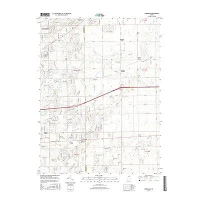
2016 Map of Cumberland
USGS Topo · Published 2016About this map
Cumberland stands at the heart of this landscape along the border of Marion and Hancock Counties, anchored by the historic thoroughfare of E Washington St. The area transitions from the suburban development of Lawrence and Warren Hills into the open fields and airport infrastructure of Mount Comfort. This 2016 survey documents a dense concentration of local family and community history, evidenced by numerous burial grounds such as Snider Cem, Arnett Cem, and Wesley Chapel Cem.
Find a feature on this map
126 named features on this map. Tap any name to fly to it.
Don’t see what you’re looking for? This feature index may not catch every label — zoom into the map to look around manually.
Map Details
Editions of this 2016 Cumberland Map
This is the sole edition of this map. No revisions or reprints were ever made.
Other maps of this area

1948 · Indianapolis East
USGS Topo · 1:24,000

1948 · Beech Grove
USGS Topo · 1:24,000

1952 · Cumberland
USGS Topo · 1:24,000

1952 · Greenfield
USGS Topo · 1:24,000

1952 · Fountaintown
USGS Topo · 1:24,000

1952 · Fishers
USGS Topo · 1:24,000

1952 · Ingalls
USGS Topo · 1:24,000

1952 · Mc Cordsville
USGS Topo · 1:24,000

1953 · Acton
USGS Topo · 1:24,000

1953 · Cincinnati
USGS Topo · 1:250,000