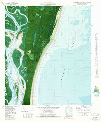
1979 Map of Cumberland Island South
USGS Topo · Published 1981About this map
Cumberland Island National Seashore dominates this coastal survey, showcasing the maritime forest and barrier island landscape shortly after its establishment as a national park. The map details several historic landings and estate sites along the island's western shore, including Plum Orchard Wharf, Stafford, and Greyfield. To the south, the ruins and landing at Dungeness Wharf provide a link to the island's Gilded Age history.
Find a feature on this map
29 named features on this map. Tap any name to fly to it.
Don’t see what you’re looking for? This feature index may not catch every label — zoom into the map to look around manually.
Map Details
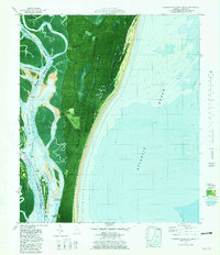
Editions of this 1979 Cumberland Island South Map
2 editions found
Other maps of this area

1918 · St Marys
USGS Topo · 1:62,500

1918 · Cumberland Island
USGS Topo · 1:62,500

1918 · Kingsland
USGS Topo · 1:62,500

1919 · Fernandina
USGS Topo · 1:62,500

1919 · St Marys
USGS Topo · 1:62,500

1930 · Cumberland Island
USGS Topo · 1:62,500

1944 · Fernandina
USGS Topo · 1:62,500

1945 · Cumberland Island
USGS Topo · 1:62,500

1948 · Jacksonville
USGS Topo · 1:250,000

1957 · Jacksonville
USGS Topo · 1:250,000