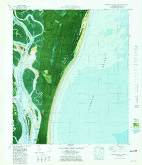
1979 Map of Cumberland Island South
USGS Topo · Published 1981About this map
Cumberland Island National Seashore dominates this 1970s orthophotomap, showing the delicate balance between federal conservation and military expansion on the Georgia coast. The map detail highlights the historic estates and infrastructure that transitioned into the National Seashore, including Plum Orchard Wharf, the estate at Greyfield, and the Dungeness Wharf at the island's southern reach. A small Cem and the Old House site offer markers for genealogists and local historians tracking the island's residential past. Across the Cumberland Sound, the establishment of the Kings Bay Naval Submarine Support Base signals a major shift in the region's strategic importance. This survey uses aerial imagery to document the intricate waterways of the Intracoastal Waterway and tidal marshes like Stafford Island before modern development patterns fully took hold.
Find a feature on this map
32 named features on this map. Tap any name to fly to it.
Don’t see what you’re looking for? This feature index may not catch every label — zoom into the map to look around manually.
Map Details
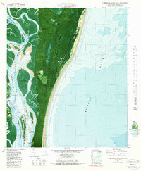
Editions of this 1979 Cumberland Island South Map
2 editions found
Other maps of this area

1918 · St Marys
USGS Topo · 1:62,500

1918 · Cumberland Island
USGS Topo · 1:62,500

1918 · Kingsland
USGS Topo · 1:62,500

1919 · Fernandina
USGS Topo · 1:62,500

1919 · St Marys
USGS Topo · 1:62,500

1930 · Cumberland Island
USGS Topo · 1:62,500

1944 · Fernandina
USGS Topo · 1:62,500

1945 · Cumberland Island
USGS Topo · 1:62,500

1948 · Jacksonville
USGS Topo · 1:250,000

1957 · Jacksonville
USGS Topo · 1:250,000