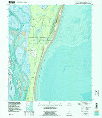
1994 Map of Cumberland Island South
USGS Topo · Published 1995About this map
Cumberland Island National Seashore dominates this mid-1990s study, balancing federal conservation with a complex landscape of private estates and military operations. Significant cultural sites like Plum Orchard Wharf, Greyfield, and the Carnegie Cem reflect the island's legacy of gilded-age residency and family estates. The map illustrates a distinct separation between the protected Wilderness Area in the north and the developed landmarks to the south, including the Landing Strip and Old House.
Find a feature on this map
33 named features on this map. Tap any name to fly to it.
Don’t see what you’re looking for? This feature index may not catch every label — zoom into the map to look around manually.
Map Details
Editions of this 1994 Cumberland Island South Map
2 editions found
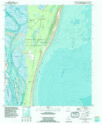
Other maps of this area

1918 · St Marys
USGS Topo · 1:62,500

1918 · Cumberland Island
USGS Topo · 1:62,500

1918 · Kingsland
USGS Topo · 1:62,500

1919 · Fernandina
USGS Topo · 1:62,500

1919 · St Marys
USGS Topo · 1:62,500

1930 · Cumberland Island
USGS Topo · 1:62,500

1944 · Fernandina
USGS Topo · 1:62,500

1945 · Cumberland Island
USGS Topo · 1:62,500

1948 · Jacksonville
USGS Topo · 1:250,000

1957 · Jacksonville
USGS Topo · 1:250,000