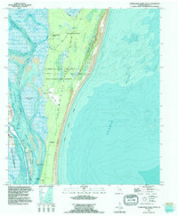
1994 Map of Cumberland Island South
USGS Topo · Published 1995About this map
Cumberland Island National Seashore dominates this coastal landscape, showing the complex boundary between the marsh-lined Cumberland Sound and the Atlantic Ocean. The southern portion of the island contains significant landmarks reflecting its private estate history, including Stafford, Greyfield, and the Carnegie Cem near Dungeness Wharf. These sites, connected by primitive roads and a small Landing Strip, contrast with the large-scale military infrastructure across the water. On the mainland side, the Kings Bay Naval Submarine Base and its associated drydocks define the western shoreline near Kings Bay. Maritime navigation is central to the area's geography, with the Intracoastal Waterway threading through the sound and past the shifting sands of Stafford Shoal. The survey captures a delicate balance between a federally protected Wilderness Area and the strategic industrial presence of the naval base.
Find a feature on this map
30 named features on this map. Tap any name to fly to it.
Don’t see what you’re looking for? This feature index may not catch every label — zoom into the map to look around manually.
Map Details
Editions of this 1994 Cumberland Island South Map
2 editions found
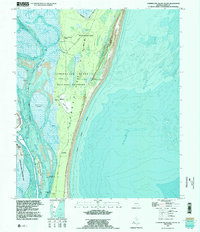
Other maps of this area

1918 · St Marys
USGS Topo · 1:62,500

1918 · Cumberland Island
USGS Topo · 1:62,500

1918 · Kingsland
USGS Topo · 1:62,500

1919 · Fernandina
USGS Topo · 1:62,500

1919 · St Marys
USGS Topo · 1:62,500

1930 · Cumberland Island
USGS Topo · 1:62,500

1944 · Fernandina
USGS Topo · 1:62,500

1945 · Cumberland Island
USGS Topo · 1:62,500

1948 · Jacksonville
USGS Topo · 1:250,000

1957 · Jacksonville
USGS Topo · 1:250,000