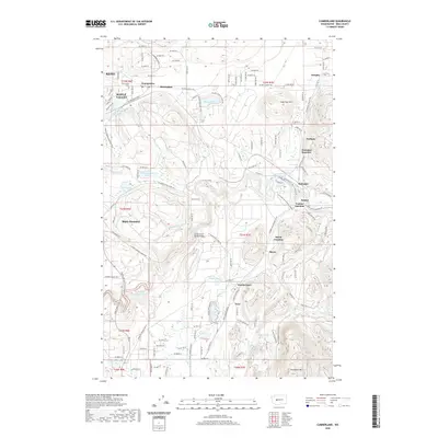
2020 Map of Cumberland
USGS Topo · Published 2020About this map
Cumberland and Black Diamond anchor this survey of the Green River watershed in eastern King County. The landscape is defined by its industrial and natural resources, evidenced by the large Ravensdale Pit and the Pautzky Salmon Ponds near the riverbanks. The Green River itself carves a deep path through the terrain, crossed by the Green River Gorge Bridge and surrounded by numerous small bodies of water like Lake Number Twelve, Deep Lake, and Retreat Lake.
Find a feature on this map
84 named features on this map. Tap any name to fly to it.
Don’t see what you’re looking for? This feature index may not catch every label — zoom into the map to look around manually.
Map Details
Editions of this 2020 Cumberland Map
This is the sole edition of this map. No revisions or reprints were ever made.
Other maps of this area

1897 · Tacoma
USGS Topo · 1:125,000

1900 · Tacoma
USGS Topo · 1:125,000

1913 · Cedar Lake
USGS Topo · 1:125,000

1942 · Lake Tapps
USGS Topo · 1:62,500

1944 · Lake Tapps
USGS Topo · 1:62,500

1949 · Maple Valley
USGS Topo · 1:24,000

1949 · Black Diamond
USGS Topo · 1:24,000

1953 · North Bend
USGS Topo · 1:24,000

1953 · Hobart
USGS Topo · 1:24,000

1953 · Eagle Gorge
USGS Topo · 1:24,000