
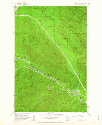
1953 Map of Eagle Gorge
USGS Topo · Published 1955About this map
The Northern Pacific Railroad winds along the banks of the Green River in this 1950s study of King County industrial and water infrastructure. This map captures a landscape defined by the crucial Tacoma Water Supply Intake, where the Purification Plant and various gaging stations manage the flow from the high-elevation Watershed Boundary. The heavy presence of water management features, including a Pipe Line and the Lemolo Cable Car Crossing, illustrates the transition from raw mountain terrain to a critical urban resource.
Find a feature on this map
34 named features on this map. Tap any name to fly to it.
Don’t see what you’re looking for? This feature index may not catch every label — zoom into the map to look around manually.
Map Details
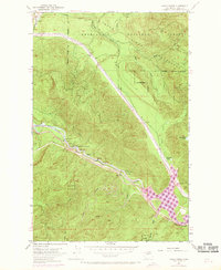
Editions of this 1953 Eagle Gorge Map
3 editions found
Other maps of this area

1913 · Cedar Lake
USGS Topo · 1:125,000

1953 · North Bend
USGS Topo · 1:24,000

1953 · Hobart
USGS Topo · 1:24,000

1953 · Cumberland
USGS Topo · 1:24,000

1956 · Greenwater
USGS Topo · 1:62,500

1956 · Enumclaw
USGS Topo · 1:62,500
1956 · Enumclaw
USGS Topo · 1:24,000

1957 · Wenatchee
USGS Topo · 1:250,000

1960 · Bandera
USGS Topo · 1:62,500

1975 · Snoqualmie Pass
USGS Topo · 1:100,000