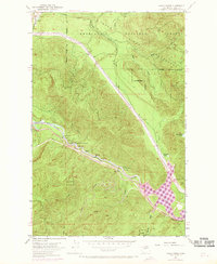
1953 Map of Eagle Gorge
USGS Topo · Published 1969About this map
The Northern Pacific Railroad winds through the steep river canyons of King County, tracing a vital transportation corridor alongside the Green River. This 1953 survey, updated with 1968 aerial revisions, documents a landscape defined by the intersection of industrial infrastructure and water management. At the heart of the map, the Howard Hanson Reservoir and Eagle Gorge dominate the southern topography, while the northern sections are strictly governed by the Cedar River Watershed and its network of tributaries like Taylor Creek.
Find a feature on this map
30 named features on this map. Tap any name to fly to it.
Don’t see what you’re looking for? This feature index may not catch every label — zoom into the map to look around manually.
Map Details
Editions of this 1953 Eagle Gorge Map
3 editions found
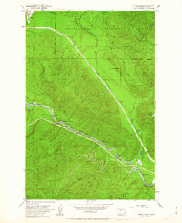
Other maps of this area

1913 · Cedar Lake
USGS Topo · 1:125,000

1953 · North Bend
USGS Topo · 1:24,000

1953 · Hobart
USGS Topo · 1:24,000

1953 · Eagle Gorge
USGS Topo · 1:24,000

1953 · Cumberland
USGS Topo · 1:24,000

1956 · Greenwater
USGS Topo · 1:62,500

1956 · Enumclaw
USGS Topo · 1:62,500
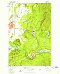
1956 · Enumclaw
USGS Topo · 1:24,000

1957 · Wenatchee
USGS Topo · 1:250,000

1960 · Bandera
USGS Topo · 1:62,500