
1953 Map of North Bend
USGS Topo · Published 1955About this map
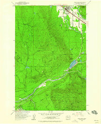
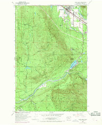
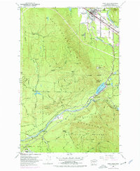
North Bend sits at the confluence of the South Fork Snoqualmie River and the Middle Fork Snoqualmie River, serving as a central hub for the region's mid-century timber and rail operations. To the south, the industrial geography of the Snoqualmie Watershed is defined by the Chicago Milwaukee St Paul and Pacific line, which winds through the mountains toward Cedar Falls. The landscape is a mix of active settlements and fading company towns, including the Hemlock (Site) and the riverside community of Barneston.
Find a feature on this map
55 named features on this map. Tap any name to fly to it.
Don’t see what you’re looking for? This feature index may not catch every label — zoom into the map to look around manually.
Map Details
Editions of this 1953 North Bend Map
4 editions found
Other maps of this area

1913 · Cedar Lake
USGS Topo · 1:125,000

1921 · Sultan
USGS Topo · 1:125,000

1923 · Sultan
USGS Topo · 1:125,000

1953 · Snoqualmie
USGS Topo · 1:24,000

1953 · Hobart
USGS Topo · 1:24,000

1953 · Fall City
USGS Topo · 1:24,000

1953 · Eagle Gorge
USGS Topo · 1:24,000

1953 · Cumberland
USGS Topo · 1:24,000

1957 · Wenatchee
USGS Topo · 1:250,000

1960 · Mount Si
USGS Topo · 1:62,500