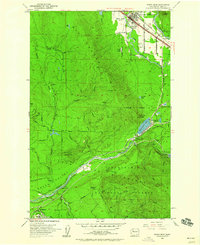
1953 Map of North Bend
USGS Topo · Published 1960About this map
North Bend stands as the primary hub at the base of Rattlesnake Mtz, where the South Fork Snoqualmie River and Middle Fk Snoqualmie River define the valley floor. The 1950s landscape is deeply marked by industrial and municipal infrastructure, from the timber-focused Mountain Tree Farm Center near Rattlesnake Lake to the restricted access of the Cedar River Watershed.
Find a feature on this map
52 named features on this map. Tap any name to fly to it.
Don’t see what you’re looking for? This feature index may not catch every label — zoom into the map to look around manually.
Map Details
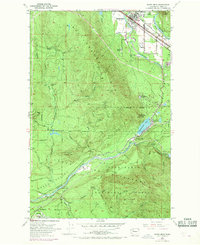
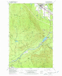
Editions of this 1953 North Bend Map
4 editions found
Other maps of this area

1913 · Cedar Lake
USGS Topo · 1:125,000

1921 · Sultan
USGS Topo · 1:125,000

1923 · Sultan
USGS Topo · 1:125,000

1953 · Snoqualmie
USGS Topo · 1:24,000

1953 · North Bend
USGS Topo · 1:24,000

1953 · Hobart
USGS Topo · 1:24,000

1953 · Fall City
USGS Topo · 1:24,000

1953 · Eagle Gorge
USGS Topo · 1:24,000

1953 · Cumberland
USGS Topo · 1:24,000

1957 · Wenatchee
USGS Topo · 1:250,000