Loading...
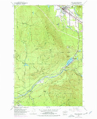
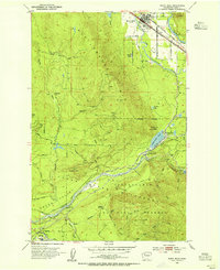
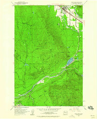
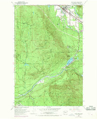
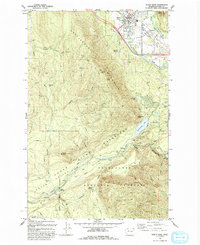
Loading map...1953 Map of North Bend
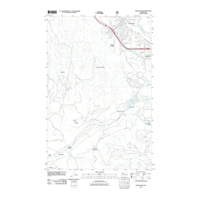
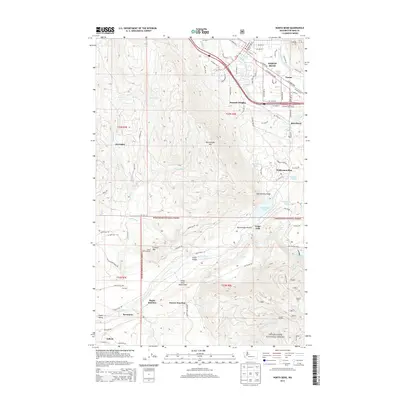
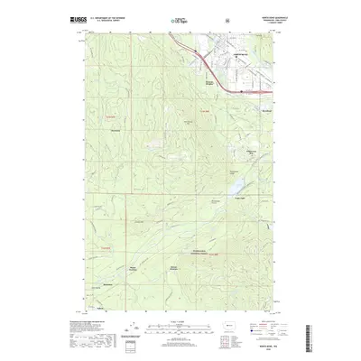
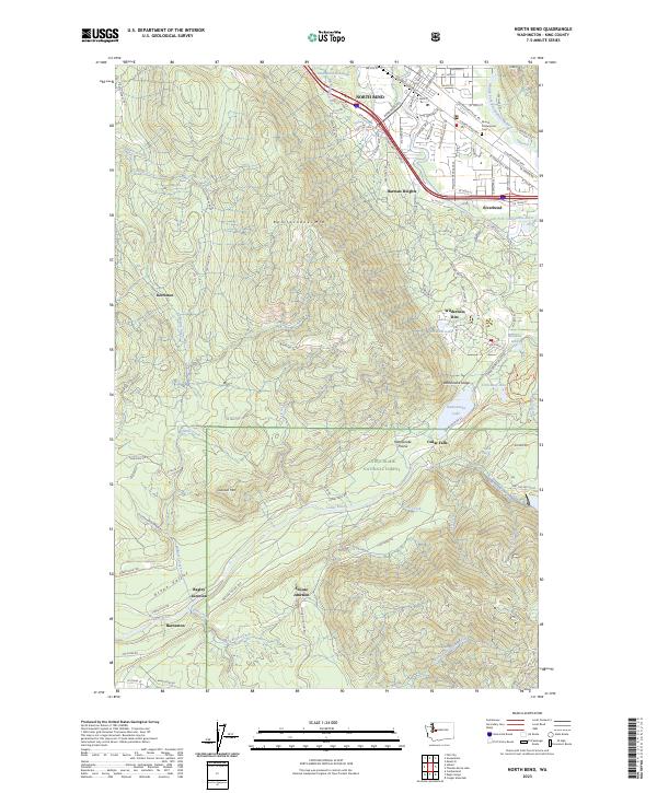
USGS Topo · Published 1977About this map
North Bend serves as the gateway to the Cascade foothills in the mid-1950s, a landscape defined by industrial forestry and vital water infrastructure. The sheet documents a transitional era for the Cedar River Watershed and the surrounding Snoqualmie National Forest, where the mountain-and-valley economy is visible through the Chicago Milwaukee St Paul and Pacific railroad lines and early auto routes like the Pacific Highway.
Find a feature on this map
53 named features on this map. Tap any name to fly to it.
Don’t see what you’re looking for? This feature index may not catch every label — zoom into the map to look around manually.
Map Details
Date Portrayed1953
Date Published1977
PublisherU.S. Geological Survey
Map TypeTopographic
Scale1:24,000
Physical Dimensions22 x 26.9 inches
Editions of this 1953 North Bend Map
4 editions found
Historical Maps of North Bend Through Time
7 maps found

Featured Locations
Source Details
SourceU.S. Geological Survey
CopyrightPublic Domain