
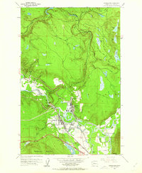
1953 Map of Snoqualmie
USGS Topo · Published 1955About this map
The industrial and natural landmarks of the Snoqualmie Valley are meticulously documented in this mid-century survey. The landscape is dominated by the Snoqualmie River, which drops over the iconic Snoqualmie Falls near a major Lumber Mill and Powerhouse. This economic hub is serviced by two major rail lines: the Northern Pacific and the Chicago Milwaukee St Paul and Pacific, highlighting the area's role in timber and transport.
Find a feature on this map
47 named features on this map. Tap any name to fly to it.
Don’t see what you’re looking for? This feature index may not catch every label — zoom into the map to look around manually.
Map Details
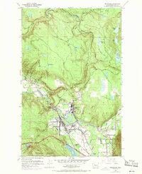
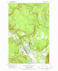
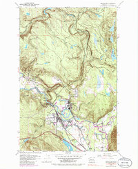
Editions of this 1953 Snoqualmie Map
5 editions found
Other maps of this area

1913 · Cedar Lake
USGS Topo · 1:125,000

1921 · Sultan
USGS Topo · 1:125,000

1923 · Sultan
USGS Topo · 1:125,000

1953 · North Bend
USGS Topo · 1:24,000

1953 · Lake Joy
USGS Topo · 1:24,000

1953 · Hobart
USGS Topo · 1:24,000

1953 · Fall City
USGS Topo · 1:24,000

1953 · Carnation
USGS Topo · 1:24,000

1957 · Wenatchee
USGS Topo · 1:250,000

1960 · Mount Si
USGS Topo · 1:62,500