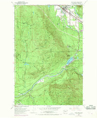
1953 Map of North Bend
USGS Topo · Published 1969About this map
North Bend anchors the northern edge of this map, situated where the Middle Fk Snoqualmie River and South Fork Snoqualmie River converge. The landscape is dominated by the steep ascent to Rattlesnake Mtz and Lookout Mtn, which separate the Snoqualmie valley from the restricted Cedar River Watershed. This division is reflected in the layout of the Chicago Milwaukee St Paul and Pacific railroad, which snakes through the pass near Cedar Falls and Bagley Junc.\n\nEvidence of the region's timber and transport history is found in the scattered settlements of Selleck, Barneston, and the remote Kerriston, linked by an Old Railroad Grade. The presence of the Mountain Tree Farm Center and the Snoqualmie National Forest boundary underscores the area's transition from active logging to managed forestry and water conservation during the mid-twentieth century.
Find a feature on this map
46 named features on this map. Tap any name to fly to it.
Don’t see what you’re looking for? This feature index may not catch every label — zoom into the map to look around manually.
Map Details
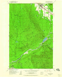
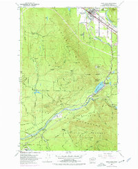
Editions of this 1953 North Bend Map
4 editions found
Other maps of this area

1913 · Cedar Lake
USGS Topo · 1:125,000

1921 · Sultan
USGS Topo · 1:125,000

1923 · Sultan
USGS Topo · 1:125,000

1953 · Snoqualmie
USGS Topo · 1:24,000

1953 · North Bend
USGS Topo · 1:24,000

1953 · Hobart
USGS Topo · 1:24,000

1953 · Fall City
USGS Topo · 1:24,000

1953 · Eagle Gorge
USGS Topo · 1:24,000

1953 · Cumberland
USGS Topo · 1:24,000

1957 · Wenatchee
USGS Topo · 1:250,000