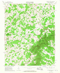
1965 Map of Cumberland Knob
USGS Topo · Published 1968About this map
Cumberland Knob Recreation Area straddles the state line in the mid-1960s, marking a rugged point where the Blue Ridge Parkway winds through the hills of North Carolina and Virginia. This survey highlights a rural landscape defined by narrow creek valleys and small upland clearings, where life centered around landmarks like McKnights Mill and the Galax Airport. The distribution of small settlements such as Edmonds and Ennice reflects a persistent pattern of mountain living, with social life anchored by many country congregations including Mountvale Ch and Big Spring Ch.
Find a feature on this map
64 named features on this map. Tap any name to fly to it.
Don’t see what you’re looking for? This feature index may not catch every label — zoom into the map to look around manually.
Map Details
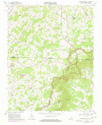
Editions of this 1965 Cumberland Knob Map
2 editions found
Other maps of this area

1889 · Hillsville
USGS Topo · 1:125,000

1889 · Wytheville
USGS Topo · 1:125,000

1889 · Wilkesboro
USGS Topo · 1:125,000

1891 · Wilkesboro
USGS Topo · 1:125,000

1891 · Yadkinville
USGS Topo · 1:125,000

1892 · Hillsville
USGS Topo · 1:125,000

1892 · Wytheville
USGS Topo · 1:125,000

1893 · Yadkinville
USGS Topo · 1:125,000

1896 · Hillsville
USGS Topo · 1:125,000

1930 · Independence
USGS Topo · 1:48,000