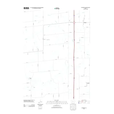
2013 Map of Cumming
USGS Topo · Published 2013About this map
Cumming sits at the northern edge of this Iowa landscape, where the agricultural grid meets the winding corridors of the N River and Badger Cr. This 2013 survey illustrates a region defined by its waterway network, including Cherry Cr, Middle Cr, and Cedar Cr, which cut through the established section lines of Warren and Madison Counties. The settlement of Churchville is visible in the southeast, while the Howell Tree Farm occupies a significant plot along Cumming Rd. A notable point for local history is the Cunningham Bridge, which spans the North River in the western portion of the map. The road network, from major thoroughfares like 15th Ave to local connectors like Cumming Ave, reveals the modern distribution of rural homesteads and farms throughout this fertile river valley.
Find a feature on this map
60 named features on this map. Tap any name to fly to it.
Don’t see what you’re looking for? This feature index may not catch every label — zoom into the map to look around manually.
Map Details
Editions of this 2013 Cumming Map
This is the sole edition of this map. No revisions or reprints were ever made.
Other maps of this area

1905 · Des Moines
USGS Topo · 1:62,500

1907 · Des Moines
USGS Topo · 1:62,500

1908 · Waukee
USGS Topo · 1:62,500

1931 · Indianola
USGS Topo · 1:62,500

1951 · St. Charles
USGS Topo · 1:62,500

1954 · Des Moines
USGS Topo · 1:250,000

1956 · Des Moines
USGS Topo · 1:250,000

1956 · Des Moines SW
USGS Topo · 1:24,000

1956 · Des Moines
USGS Topo · 1:62,500

1957 · Des Moines
USGS Topo · 1:250,000