
1943 Map of Cummings Mountain
USGS Topo · Published 1943About this map
The Southern Pacific railroad snakes through the Tehachapi Mountains in the northern reach of this 1943 survey, navigating the complex topography near Walong and the famous loop. This area serves as a vital transportation corridor, connecting the San Joaquin Valley to the high desert. The landscape is dotted with specialized institutions and early ranching outposts, including the Kern Co Preventorium, Stonybrook Retreat, and the California Institution for Women. These sites, tucked into the canyons and valleys like Brite Valley and Bear Valley, reflect the mid-century use of the region for secluded health and correctional facilities.
Find a feature on this map
49 named features on this map. Tap any name to fly to it.
Don’t see what you’re looking for? This feature index may not catch every label — zoom into the map to look around manually.
Map Details
Editions of this 1943 Cummings Mountain Map
5 editions found
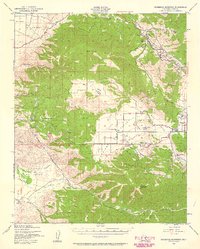
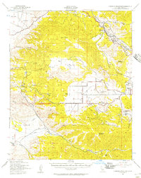
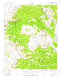
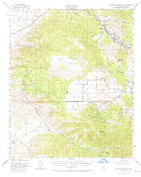
Other maps of this area

1903 · Tejon
USGS Topo · 1:125,000

1914 · Caliente
USGS Topo · 1:125,000

1915 · Elizabeth Lake
USGS Topo · 1:125,000

1915 · Mojave
USGS Topo · 1:125,000

1917 · Elizabeth Lake
USGS Topo · 1:125,000

1929 · Bena
USGS Topo · 1:31,680

1930 · Bear Mountain
USGS Topo · 1:31,680

1930 · Arvin
USGS Topo · 1:31,680

1931 · Edison
USGS Topo · 1:31,680

1931 · Tejon Hills
USGS Topo · 1:31,680